Space Data to Power Map Updates and Urban Planning Across Russia
Russia’s Rosreestr and Roscosmos have signed an agreement on the regular transfer of Earth remote sensing data. That data will support map updates, cadastral valuation and urban planning on a unified digital foundation.
“High-quality public services and effective land management depend on complete and accurate data,” said Rosreestr head Oleg Skufinsky.
The Natsionalnaya sistema prostranstvennykh dannykh (NPSD; National Spatial Data System) program, launched in 2021, is designed to improve how land and real estate assets are used. It helps identify suitable land plots for development, including tourism and construction, and supports a broader range of planning decisions.
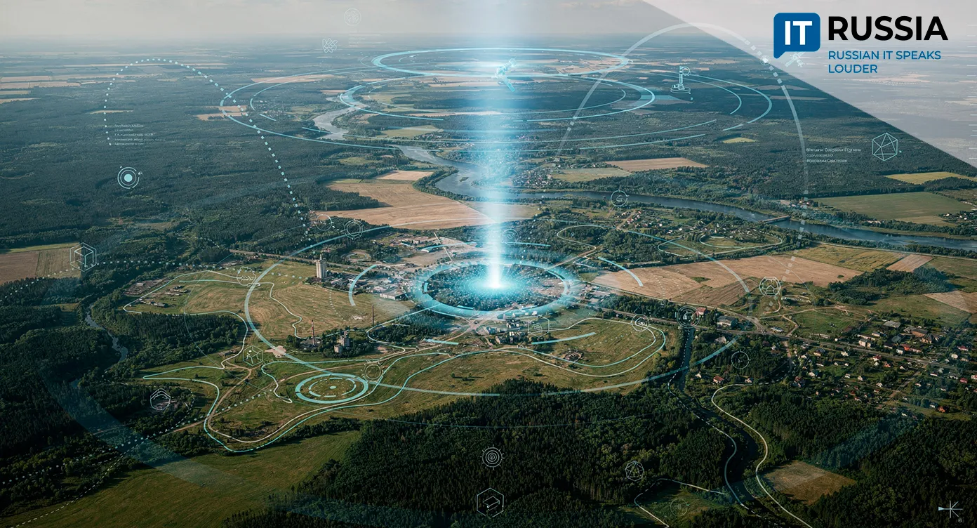
By 2030, all data will be consolidated on a unified digital platform. Satellite technologies play a central role in that shift. As new Russian satellites capable of high-resolution imaging enter orbit, manned aerial surveys are expected to be phased down, while outdated maps are updated. More accurate services will reduce errors in land registration and help prevent disputes.
Satellite Data as Core Infrastructure
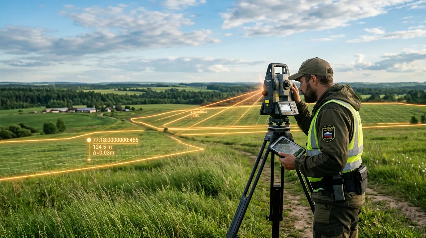
Since early 2022, Rosreestr and Roscosmos have expanded cooperation under a geospatial technology partnership. For mapping and updates, Rosreestr requires satellite imagery with spatial resolution between 0.5 and 1.3 meters. Roscosmos has already fulfilled 100% of requests from Rosreestr and Roskartografiya for topographic mapping imagery.
“Our partnership with Rosreestr shows how space-based services can deliver practical value on Earth,” said Roscosmos Director General Dmitry Bakanov. “Russia’s annual demand for imagery exceeds 5 billion square kilometers, and we plan to scale data delivery. We will also improve accuracy, reaching 1-meter resolution by 2026 and no worse than 20 centimeters by 2033.”
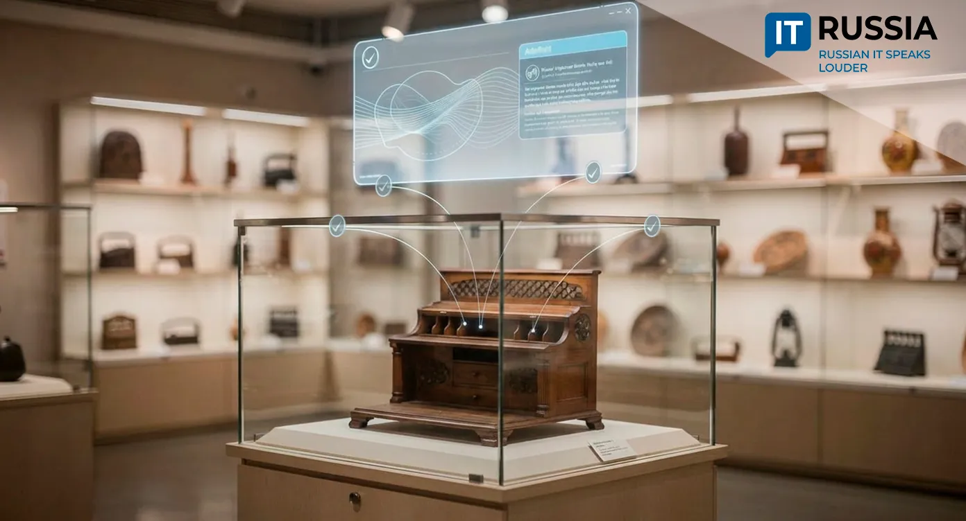
Agencies are also working to automate terrain change monitoring using satellite data. AI already plays a growing role within Rosreestr. For example, the Smart Cadastre (Umnyy kadastr) system identifies unregistered real estate assets. A digital assistant, Eva, processes documents at public service centers, handling up to 30–40 document packages daily.

Toward a Unified Digital Map of Russia
In 2020, the Federal State Information System for the Unified State Register of Real Estate (FGIS EGRN) had not yet been deployed across 34 major regions, covering 70% of data or about 110 million property records. Today, unified accounting standards are in place nationwide. Interactions with public service centers previously relied entirely on paper. Following digital transformation, Rosreestr processed 407 million service requests in 2024, three times more than five years earlier. The share of digital services has tripled since 2020, reaching 60%.
In Russia, Natsionalnaya sistema prostranstvennykh dannykh is under development. With satellite integration, it is expected to reach a new level of capability. More than 120 information systems are already connected as data providers for NSPD. The platform currently covers 64 regions, with 11 more set to join this year. User demand for digital services is rising. Visits to the Land for Construction (Zemlya dlya stroyki) service increased tenfold to 260,000, while Zemlya prosto grew from 160,000 to 1.8 million users.

Domestic geospatial services are increasingly replacing foreign alternatives. But they do not function on their own. They require neural networks to analyze imagery and secure cloud storage, which will continue to support growth in Russia’s IT sector.