Russian Scientists Develop Drone-Based Seismic Robot for Arctic Exploration
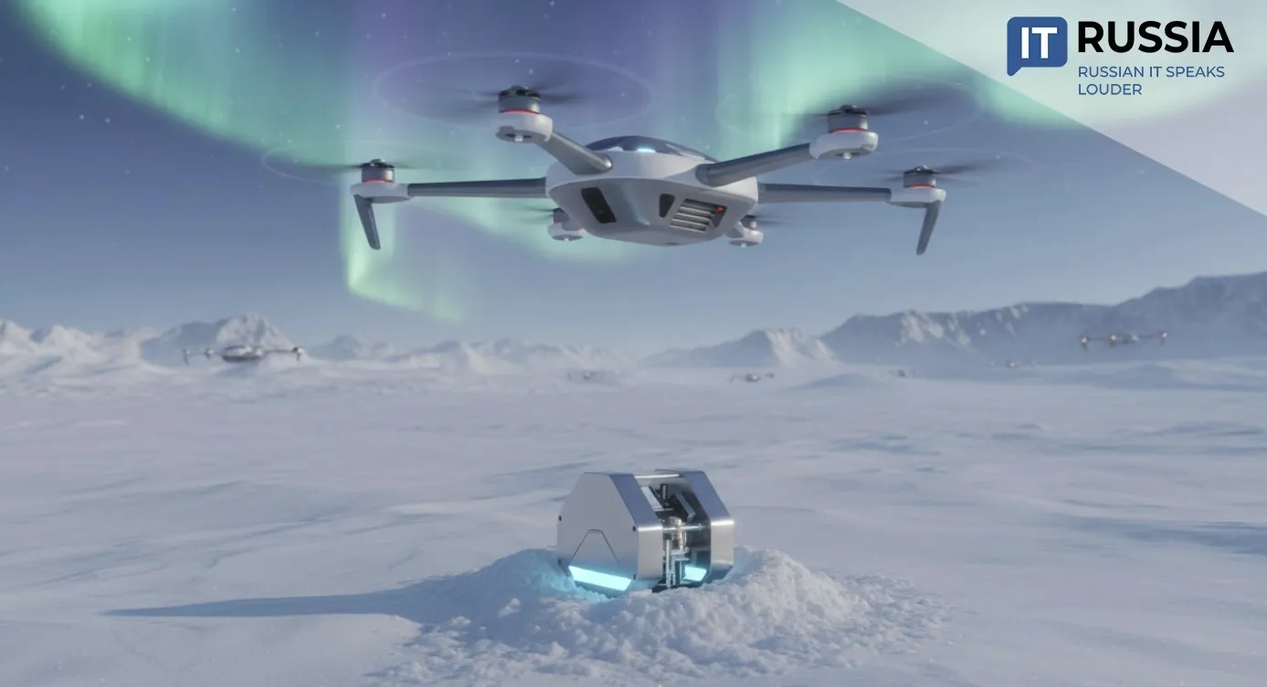
A new seismic drone prototype developed in Russia promises safer, faster, and more sustainable geological surveying across the Arctic, Siberia, and other hard‑to‑reach regions
A Small Robot for Enormous Terrain
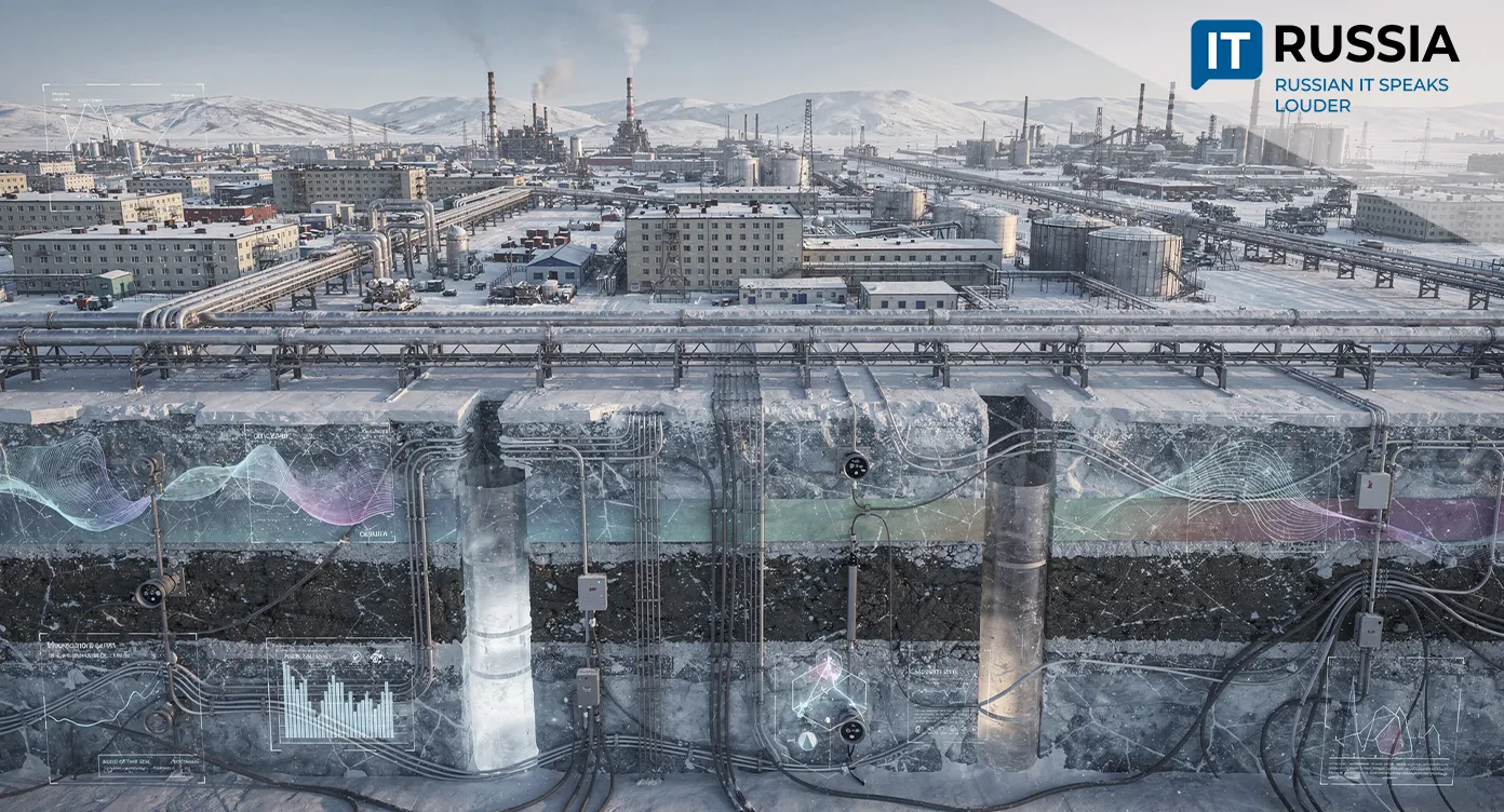
Geological exploration in permafrost regions, vast ice fields, or remote taiga has long required massive equipment, complex logistics, and high financial costs. Moving people and heavy instruments across these terrains has always been slow, risky, and resource‑intensive.
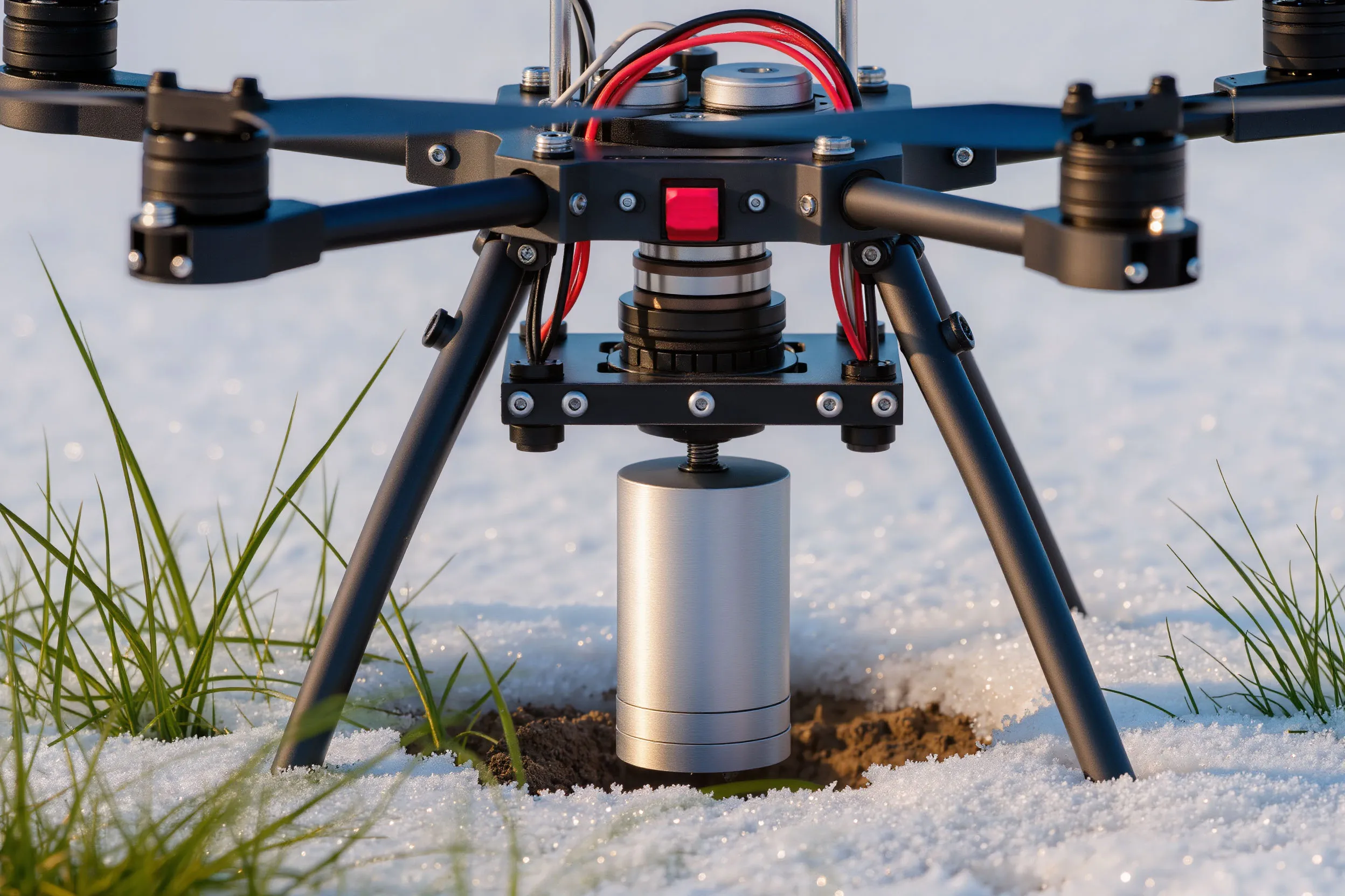
The new drone is not merely an aircraft carrying tools. It is a fully robotic system capable of completing the entire seismic‑survey cycle autonomously.

The UAV delivers a seismic sensor to a predefined location, embeds it into the ground using a dedicated drilling mechanism, collects data, and returns to the operator.
By eliminating the need to deploy human teams and stationary instruments, the system dramatically reduces labor, environmental impact, and logistical risks. Neural models already help classify landscapes and choose optimal zones for sensor placement.

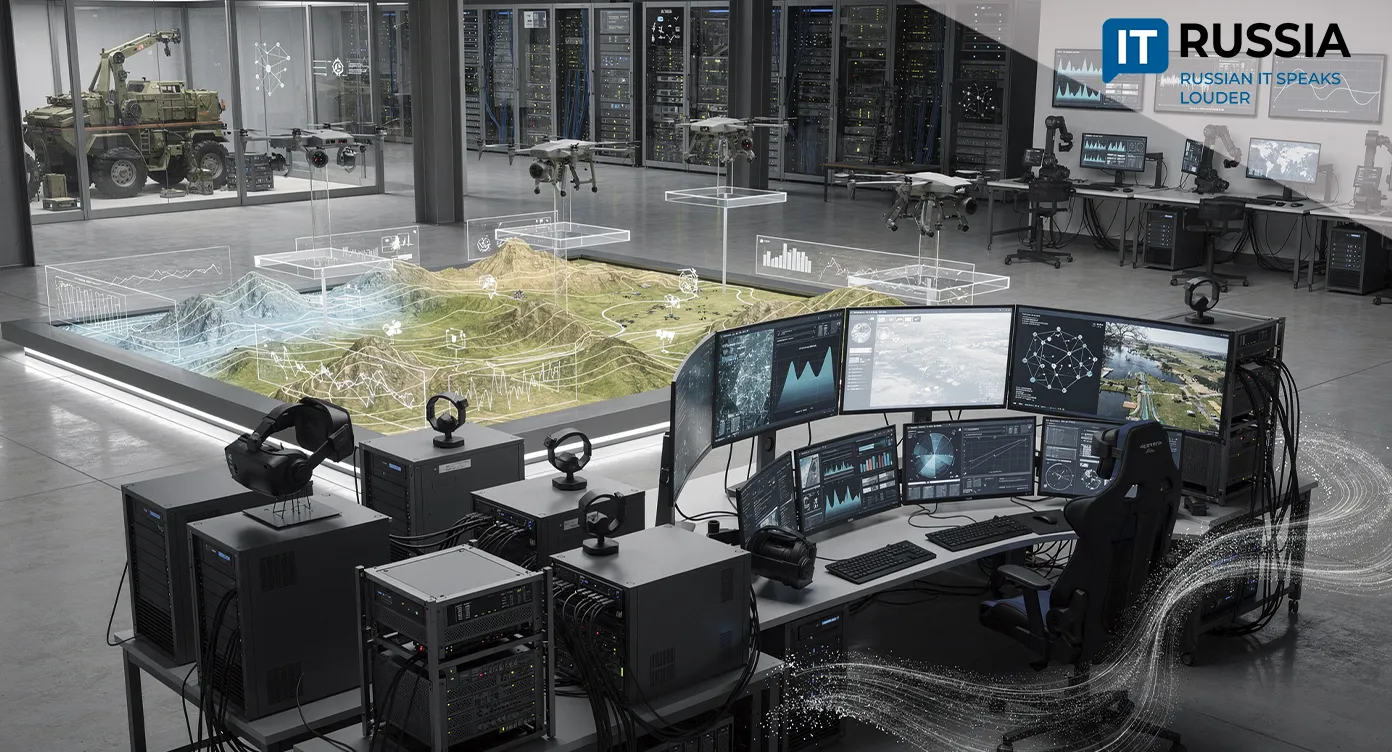
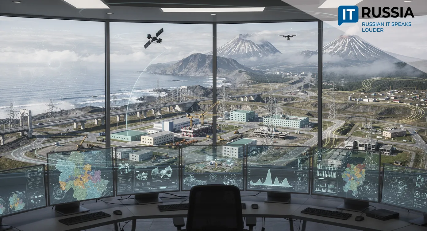
Reaching Where People Cannot
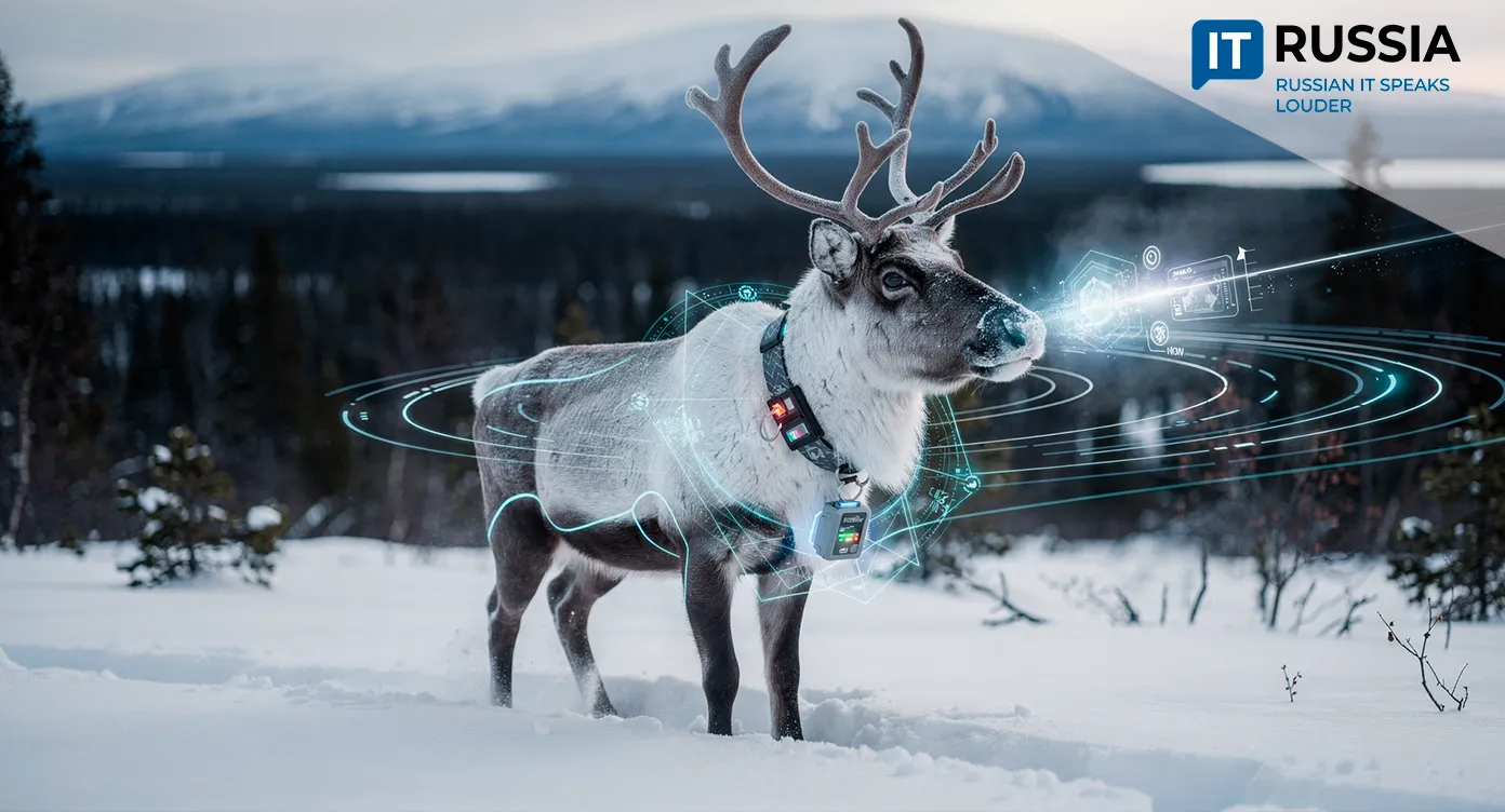
The field of geophysics is rapidly adopting robotics. Russian researchers have developed a UAV complex capable of monitoring infrastructure and remote territories under Arctic conditions. Controlled by a neural network, the system reduces manual work in extreme environments by a factor of ten and can be adapted for oil and gas, energy, telecommunications, utilities, and industrial sectors.
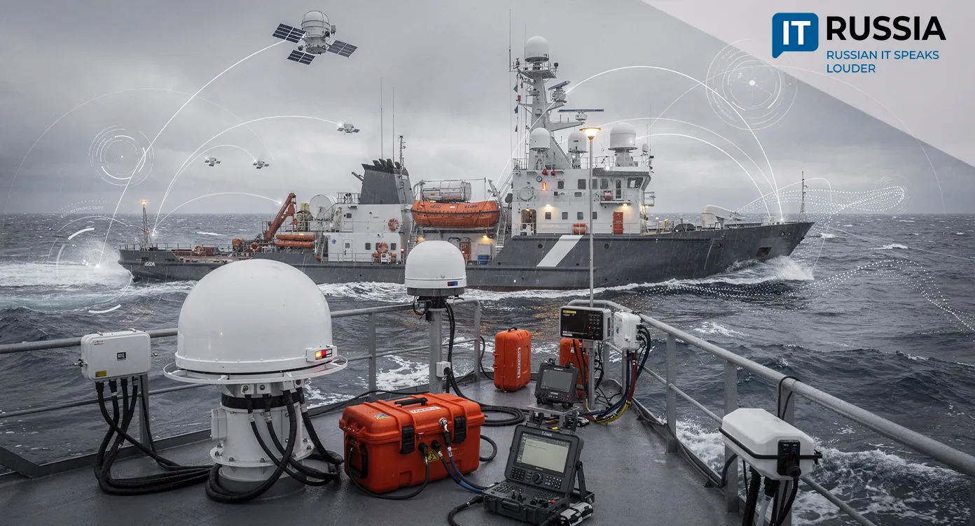
Underwater drones are expanding as well. Russian engineers have created remotely operated vehicles for inspecting hydrotechnical structures and conducting reconnaissance. International analyses, such as "UAVs for Geophysical Survey" (Geoversity, 2024), highlight the global surge in UAV‑based magnetic, gravity, and electromagnetic surveys. The new Russian prototype extends this trend into the more challenging domain of seismic exploration.
A New Era for Geological Surveying
If scaled, the technology could become a standard tool for mineral‑resource assessment in northern Russia, helping accelerate exploration across the Arctic, Siberia, and the Far East. It also carries export potential for countries with vast polar territories, including Canada, Norway, and Denmark.
Future development may integrate autonomous drone fleets, coordinated without human intervention, and connect the collected seismic data to digital‑twin subsurface models. This would enable long‑term planning of extraction and comprehensive environmental oversight.
A drone‑based seismic system offers a fundamentally new way to study the Earth’s crust under the most extreme conditions. As demand for resources grows and industries push for sustainable, efficient workflows, such technologies become strategically important.