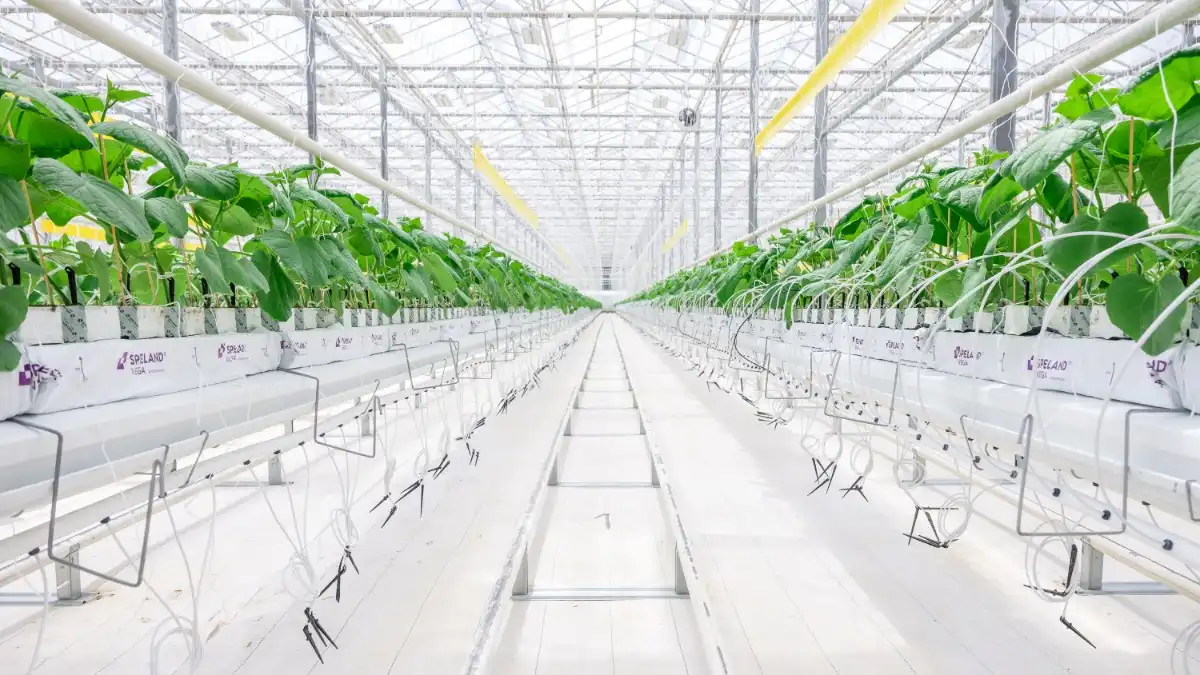
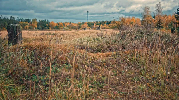
Russia Develops AI System to Bring Abandoned Farmland Back Into Use
A new Russian AI system is stepping into one of the country’s biggest agricultural challenges: identifying and restoring abandoned farmland, a move that could reshape regional food production and resource planning
Near‑Perfect Detection Accuracy
Scientists at Samara University named after Korolyov, working with technology specialists from Samis, have developed a neural‑network service that automatically identifies unused agricultural land. The system compares satellite imagery with data from Russia’s land cadastre, flagging plots where no productive activity has been carried out for long periods. Its purpose is to accelerate the process of locating farmland that can be returned to active use.
Operating on satellite images with resolutions ranging from two to ten meters, the algorithm is capable of detecting even small parcels. According to its developers, the accuracy of identifying abandoned areas reaches 95%.
Evaluating Where Farming Can Return First
Beyond detection, the service analyzes how promising each parcel may be for future cultivation. The neural network assesses climate patterns, soil characteristics, topography, and the similarity of each area to nearby fertile land. Based on these variables, it generates a forecast identifying which territories should be prioritized for reactivation.
A Solution Relevant to Half the Country
The system has already been tested in the Samara region and is ready for deployment across other territories. The developers estimate that the issue of unused farmland affects approximately 50 Russian regions. For areas where field surveys are difficult or impossible, the new tool dramatically reduces the time needed to evaluate land conditions.
Built on the ‘Robot‑Cartographer’ Platform
The service is built on the foundation of the previously developed Robot‑Cartographer platform, created jointly by Samara University and Samis. The platform integrates geospatial datasets and information from multiple sources—including the Unified State Register of Real Estate (EGRN)—to produce digital territorial profiles. The new neural‑network system expands these capabilities, increasing the depth and automation of geospatial analysis.
Experts believe the technology could speed the reintegration of unused lands into agricultural production, help identify optimal plots for future crops, and improve the efficient use of regional farming resources.