In Russia, Artificial Intelligence Will Help Environmental Scientists Avoid ‘Sinking’ Into the Swamps
A new AI tool developed in Russia can not only detect wetlands on satellite images but also classify them within minutes, transforming how environmental scientists monitor fragile ecosystems
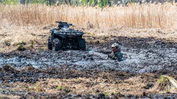
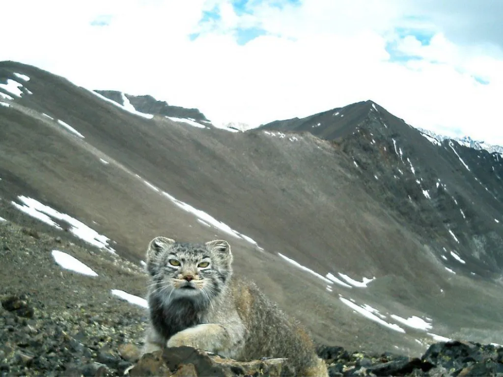
Mapping the Swamps of Western Siberia
A team from Tyumen State University has created an artificial-intelligence model that helps ecologists accelerate the analysis of satellite imagery of land with various types of wetlands. Tasks that previously required weeks of manual work can now be completed in minutes.
The algorithm is based on the YOLO11 neural network and integrated directly into the QGIS geographic information system, enabling specialists to use the tool within their familiar workflow.
Wetlands as Ecosystem Regulators
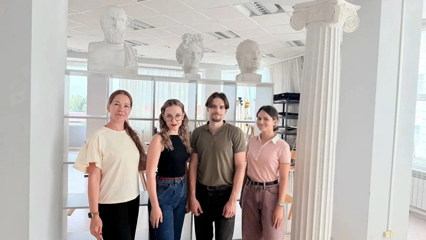
According to Lazar Yovanovich, a research assistant at the Green Solution Lab, the wetlands of Western Siberia play essential ecological roles. They retain freshwater, store carbon, and regulate ecosystem dynamics.
Monitoring changes in these areas requires consistent and detailed cartographic analysis. The new tool speeds up this work and reduces the risk of human error during manual labeling.
Three Wetland Types—and Room to Grow
The model is trained to recognize three categories of wetland terrain on satellite images. One of the classes achieves an accuracy of about 92%, while the others require additional refinement and expansion of the training dataset. Dmitry Khoreshko, co‑author of the project and a master’s student at the School of Computer Science, notes that the team plans to add new spectral channels and optimize the model architecture to improve recognition stability.
Tested in Challenging Terrain
The Tobolsk district of the Tyumen region—an area with a high level of swampiness—was selected for testing. Its complex natural landscapes provided ideal conditions for evaluating the algorithm’s performance. The tool is already suitable for environmental monitoring, landscape‑change assessment, and conservation planning.
Researchers expect further development of the model to enable more accessible tools for specialists working with large volumes of satellite data and to enhance the quality of nature‑area monitoring.