3D Model of Russia’s Bolshaya Mechkinskaya Cave Created After Laser Scan
Researchers in Russia have scanned Bolshaya Mechkinskaya Cave and produced a precise three-dimensional digital model.
Specialists in Russia’s Perm region have carried out the first laser scanning of Bolshaya Mechkinskaya Cave and created an accurate 3D digital model of the site.
The work was conducted in late February within a specially protected natural area in the Kama region. Laser scanning made it possible to capture the detailed digital geometry of the underground cavity. The data will support further scientific study of the cave and help prepare infrastructure for speleological tourism.
Protected Natural Site
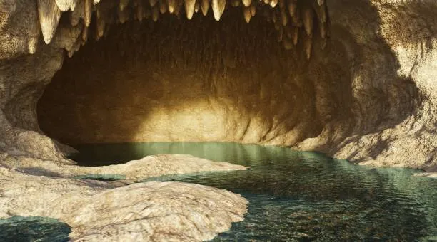
Bolshaya Mechkinskaya Cave received the status of a specially protected natural territory in 2008. It is located on the left bank of the Mechka River, about 20 kilometers from the town of Kungur. In 2025, the Directorate of Specially Protected Natural Areas of the Perm Region obtained management rights for the site. The cave has been included in the list of promising tourist destinations in the region’s protected-areas development strategy through 2036.
LiDAR and Digital Modeling
To build the 3D model, specialists used LiDAR surveying. Ground-based scanning was carried out with a high-precision scanner that generated a dataset of spatial coordinates known as a point cloud. Together, these points accurately reproduce the shape of each underground chamber and passage.
Individual scans were then combined into a single digital model. To align the data, researchers used mobile wooden markers that allowed them to fix scanning points without attaching equipment directly to the rock, helping preserve the cave’s natural condition.
Scanning Hard-to-Reach Areas
Narrow cavities and the entrance shaft were mapped using mobile scanners equipped with SLAM technology. The equipment simultaneously determines its position in space while building a map of the surrounding environment. This allowed researchers to capture the geometry of complex sections and complement the data obtained through ground laser scanning.
The resulting model was linked to the regional coordinate system MSK-59. This made it possible to combine the underground data with the surface geodetic map and obtain an accurate projection of the cave on that map.
Foundation for a Digital Twin
The next stage of the project will be the creation of a digital twin of the cave. Researchers plan to overlay the geometric model with data describing underground landscapes and natural processes. The resulting information model will help monitor the site’s condition and plan tourist infrastructure.
The digital scanning experience may also be applied to other speleological sites in the Perm region. The regional development strategy for protected areas identifies more than ten territories with caves considered promising for scientific research and speleotourism.