

AI and Satellites Are Helping Save Land From Desertification
As climate change accelerates, soil degradation and desertification are threatening fertile land across Russia, Central Asia and the Caspian basin. Russian scientists and engineers are proposing a proactive strategy – digitally monitoring the health of these landscapes.
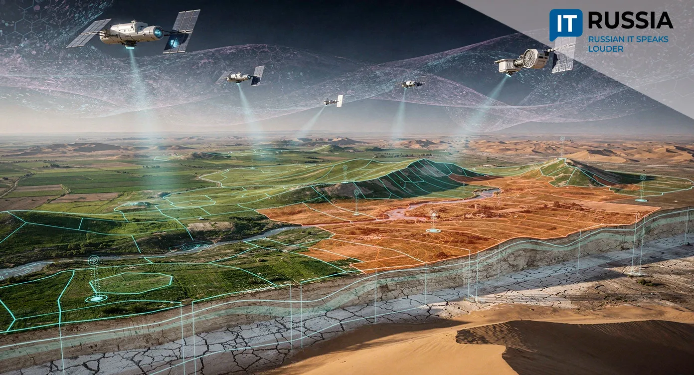
At the 17th session of the Conference of the Parties to the United Nations Convention to Combat Desertification, held in Mongolia, Russia presented a technology suite combining artificial intelligence, satellite data and geographic information systems to monitor soil health.
Land From Space
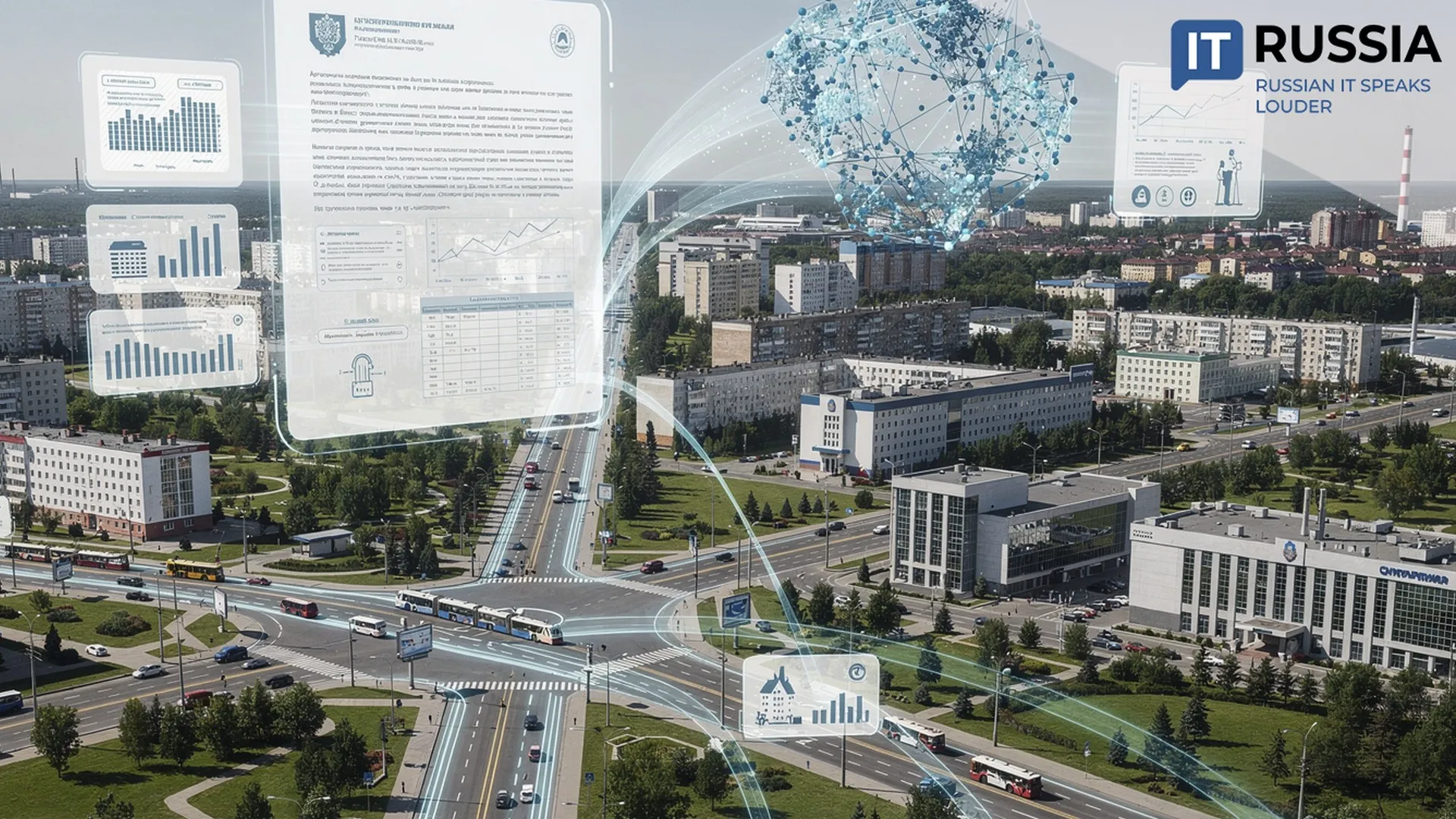
The digital system works from the global scale down to individual areas. Its data is housed at the IKI-Monitoring Shared Research Center at the Space Research Institute of the Russian Academy of Sciences. The data center stores more than 8 petabytes of satellite information spanning years of observations. Neural networks and deep-learning algorithms process those archives.
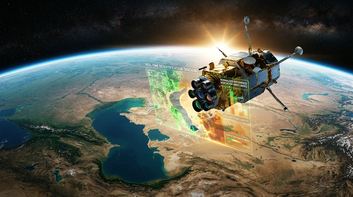
At the heart of the monitoring system is the Normalized Difference Vegetation Index, or NDVI, calculated from satellite imagery. It can assess the density and health of vegetation with high precision. According to Russia’s Agrochemical Service, degradation maps produced with this methodology reach 89% accuracy. But seeing the damage is not enough – the system also needs to understand it. For that purpose, researchers developed the Opustynivanie i ego monitoring (Desertification and Its Monitoring) specialized GIS. Built by Terra Tech in partnership with academic researchers, the system uses U-Net neural networks to automatically identify signs of degradation in satellite images, including deflation zones where soil is being blown away, salinization and shifting sands. Risk areas appear in red on the map.
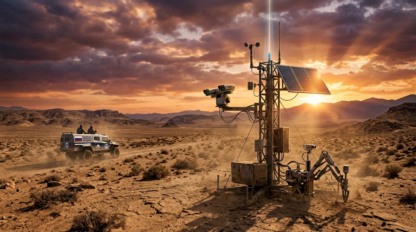
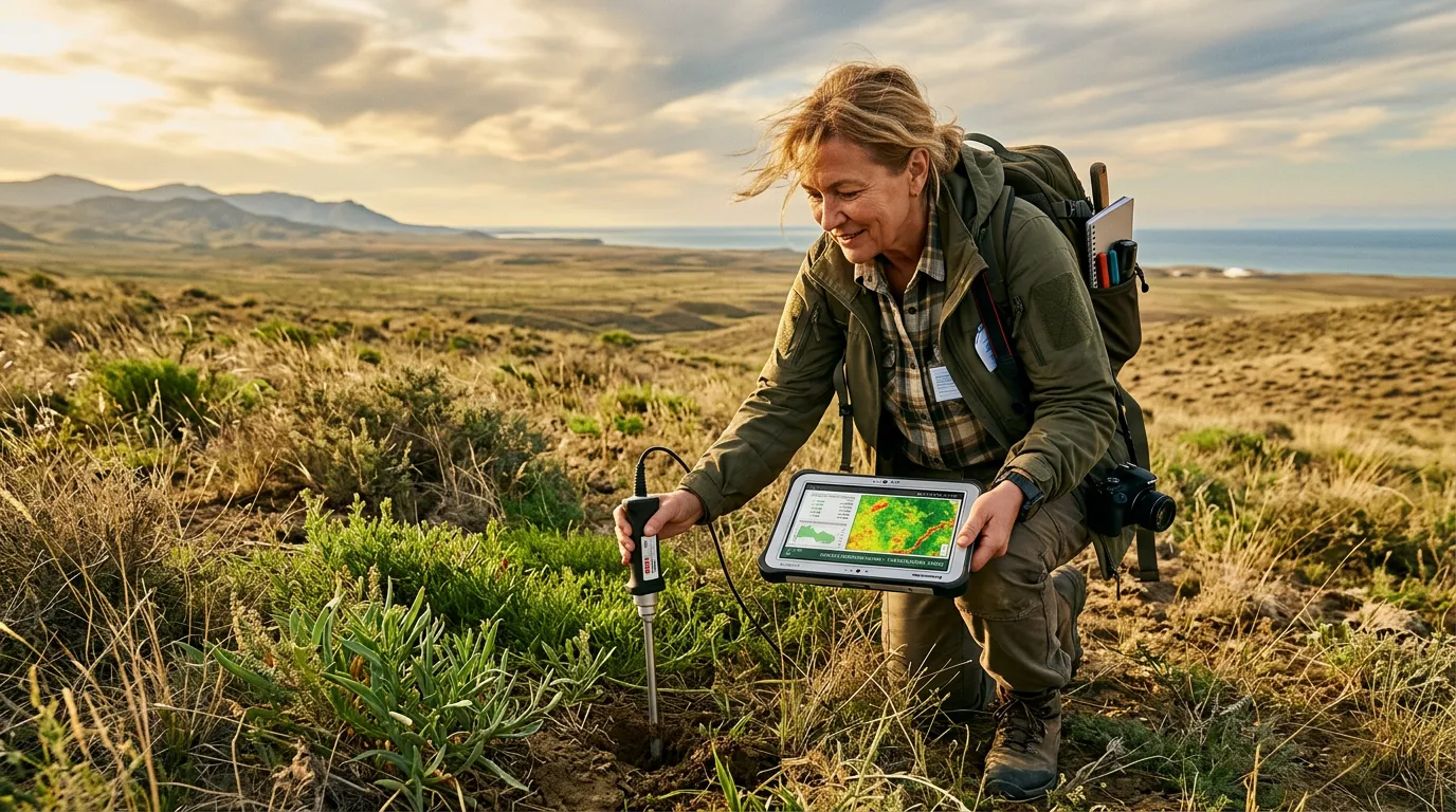
Notably, satellite observations are supplemented by field surveys conducted through a dedicated mobile app. Agronomists and environmental specialists collect data on the ground that serves as reference data for machine learning, improving the accuracy of forecasts.
Measurable Results
In recent years, these technologies have helped restore vegetation across roughly 170,000 hectares (420,000 acres) in the Chernye zemli (Black Lands) and Kizlyarskie pastbishcha (Kizlyar Pastures). More than 100,000 hectares (247,000 acres) of land that had already begun losing fertility has been returned to productive agricultural use.
Today, about 123.4 million hectares (305 million acres) of Russian agricultural land are at risk of desertification. A government program to develop land reclamation infrastructure and return land to productive use has been in place since 2021. By 2030, the target is to bring 13 million hectares (32 million acres) back into use and improve the quality of more than 7 million hectares (17 million acres) of farmland. Continuous digital monitoring helps detect degradation threats early. Instead of waiting until pasture becomes barren, the system gives land managers a chance to act in advance – by restricting grazing, using phytomelioration to restore vegetation, or changing how the land is used.
By 2026, desertification had affected 28 Russian regions to varying degrees, making tools like this increasingly important to food security. The GIS, under development since 2022, has already mapped dangerous processes in 14 of the country’s driest regions. The next challenge is to scale that digital approach nationwide.
Fertile Ground for Technology
Land degradation and drought affect more than 3 billion hectares (7.4 billion acres), or as much as 40% of the world’s land, and cost the global economy nearly $900 billion every year. Around 3.2 billion people feel the consequences.
The practical solutions discussed at the conference in Mongolia are only the beginning of a much larger effort. An integrated digital system for managing agricultural land could become an effective tool against desertification. Operating automatically, it would compare satellite imagery, cadastral records and agrochemical soil analyses, then produce a ready-to-use profile for each parcel along with recommendations. The Space Research Institute of the Russian Academy of Sciences is already expanding its machine-learning computing infrastructure to process the rapidly growing stream of satellite data even faster.
Terra Tech, the GIS developer, is offering international partners more than a software product. Its package combines satellite data, AI algorithms and methods for training personnel. Soil salinization and desertification are particularly acute across BRICS+, Central Asia and Shanghai Cooperation Organization countries. Russia now has a technology suite designed to benefit both ecosystems and economies. Notably, the project has received recognition in international competitions, including EKOTEKH-LIDER 2025 (ECOTECH-LEADER 2025), placing it, according to the article, among global leaders in the field.