

New Technology Helps Pinpoint When Galich’s Medieval Fortifications Were Built
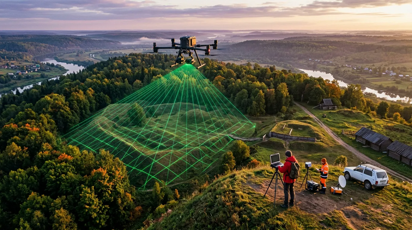
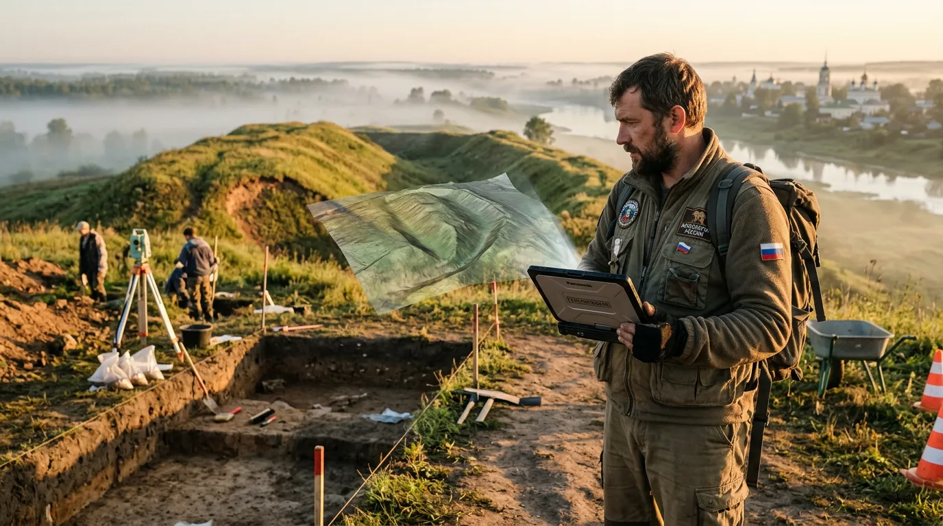
An expedition from the Institute of Archaeology of the Russian Academy of Sciences has completed its study of medieval fortifications in Galich, in Russia’s Kostroma region. Along with traditional excavations, researchers used lidar laser scanning to survey the site and created the first digital 3D image of the fortified settlements on Balchug Hill. Most important, combining new technology with conventional archaeology helped researchers avoid errors in dating the monuments.
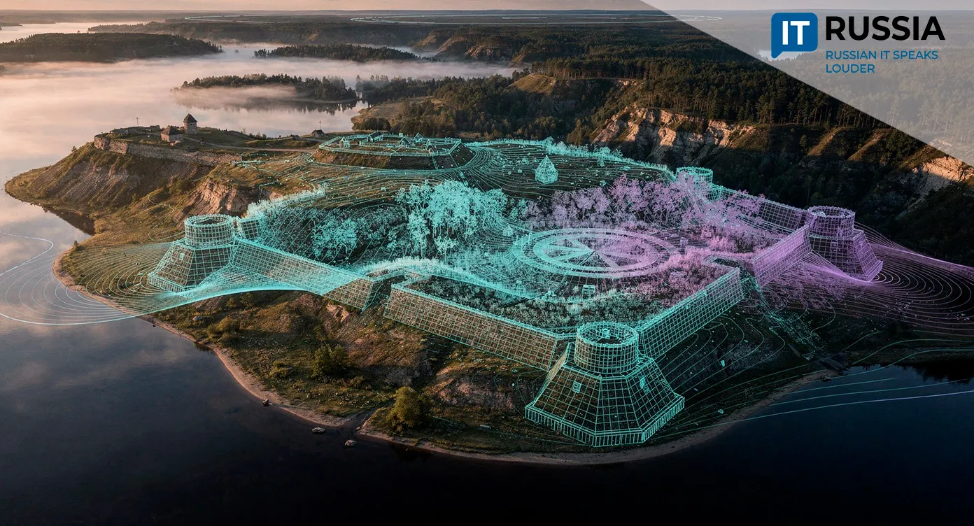
The fortification complex in the Balchug area on the shore of Lake Galich in Russia’s Kostroma region includes the Lower and Upper fortified settlements. Archaeologists have actively studied the site since the middle of the last century. The Lower Settlement and its fortifications were traditionally thought to have been built in the pre-Mongol period, around the middle of the 12th century. But new research conducted this summer by the Institute of Archaeology of the Russian Academy of Sciences, combining lidar scanning with excavation, showed that the site dates to a later period.
Scientists Rule Out a Pre-Mongol Origin
A modern methodology incorporating lidar technology has, for the first time, allowed researchers to establish reliable dates for the construction of the fortifications on Balchug Hill. The structures were built in the 15th century, not the 12th as previously believed. New finds and the digital model indicate that the defensive system took shape around 1447–1450. Supporting that timeline is a coin of Vasily II the Blind, minted in 1447–1449, that was found in a layer above the remains of the fortifications.
Researchers now believe the fortification system was built during the struggle between Grand Prince Vasily II the Blind and Dmitry Shemyaka and played an important role in the 1450 battle in which Shemyaka’s forces were defeated.
“The remains of the fortifications in the Balchug area of present-day Galich, known as the Lower and Upper fortified settlements, are among the most striking examples of defensive architecture in northeastern Rus. They stand out for their unusual layout, the scale of their defenses, the integration of two fortified settlements from different periods into a single defensive system, and the rare preservation of the historic landscape. Yet they have been little studied through excavation. The 2026 research allowed us to reconsider the established view of Galich’s Lower Settlement as a pre-Mongol fortress: We found that the fortifications at Balchug were built during the internecine wars over the grand princely throne between Moscow Prince Vasily II the Blind and Dmitry Shemyaka, Prince of Uglich and Galich,” said Academician Nikolai Makarov, head of the Institute of Archaeology of the Russian Academy of Sciences. To confirm that interpretation and understand what the fortifications looked like, the researchers turned to chronicle sources, including the Lavrentievskaya letopis (Laurentian Chronicle).
Trust the 3D Model, Not Your Eyes
Using lidar laser scanning, researchers this year created a digital model of the medieval fortified settlements at Balchug. It accurately captures the historic landscape and the fortifications as they survive today while revealing details of their layout and terrain. The resulting 3D model exposed features of the ramparts and topography that researchers could not see while examining the site on the ground.
The model revealed that the Lower Settlement is pentagonal, with four straight sections of defensive ramparts and the lakeshore completing its perimeter. At the same time, remnants of the ramparts along the shoreline cannot be seen on the ground but are clearly visible in the digital model, suggesting that the earthworks originally extended toward the shore. Fortifications may also have existed directly along the shoreline, although their traces were later erased by changes to the terrain.
Using lidar, the researchers determined that ramparts built along the sides of a ravine reach heights of 2.4–3.45 meters (7.9–11.3 feet), while those on top of the plateau and on the exposed landward side reach 5.4 meters (17.7 feet). The elevation difference between the base and the highest part of the site is 66 meters (217 feet). Rounded expansions are visible at both ends of the southeastern section of the rampart that protected the fortress. These may have been the foundations of towers. The researchers say the site’s position on a steep slope and the angular outline of its earthen fortifications are not typical of fortified settlements from the pre-Mongol period. Taken together, these features point to defensive structures from the late Middle Ages.

No Room for Error
Lidar has long been used in archaeology around the world. For Russian researchers, it has become an effective tool that can do more than visualize archaeological sites – it can change how scientists understand when and how those sites emerged. The technology is gradually turning archaeological monuments into measurable digital objects that researchers can compare, analyze and revisit without repeatedly disturbing the physical site. That makes it possible to study and preserve cultural heritage more precisely and, over time, could support digital reconstructions, virtual exhibitions, and materials for museums, education and tourism projects.