

Arctic Settlements in Yakutia Are Getting Digital Twins
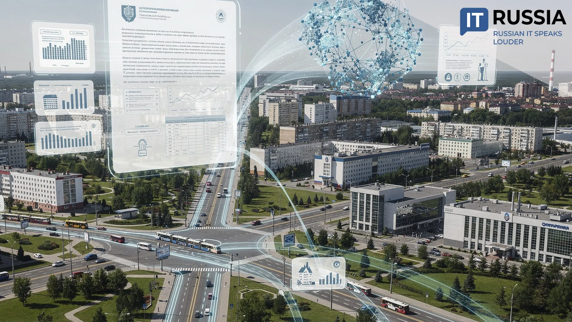
The first city in Russia to get a fully developed digital twin was Moscow. Under the Russian Ministry of Construction’s plans, all cities with more than 1 million residents are expected to have accurate 3D replicas by 2027. Meanwhile, small settlements above the Arctic Circle are also beginning to appear on Russia’s “digital map.”
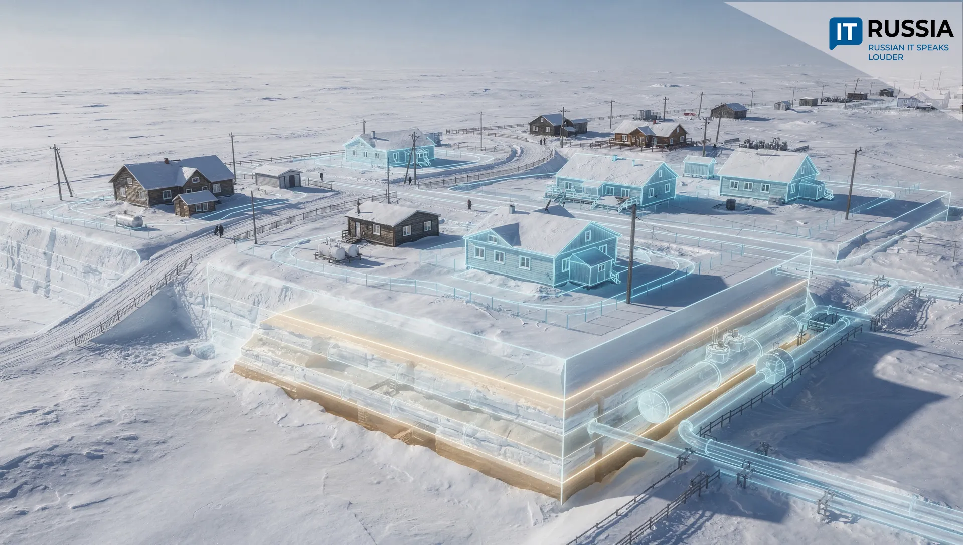
A three-dimensional geospatial model has been created for Saskylakh, the administrative center of Yakutia’s Anabar District. The project is being developed by the Arctic State University of Arts, Culture and Creative Industries. So far, a “digital shadow” of the village has been created, a body of spatial data has been collected, and work has begun on a geodatabase.
Beyond a Pretty Picture
Saskylakh does not yet have a full-fledged digital twin. The experts draw a clear distinction between a static digital shadow and a dynamic digital twin. What exists today is a three-dimensional model and geospatial foundation. To turn it into a real management tool, the model will need to be continuously updated with data on the actual condition of buildings, pipelines and permafrost.
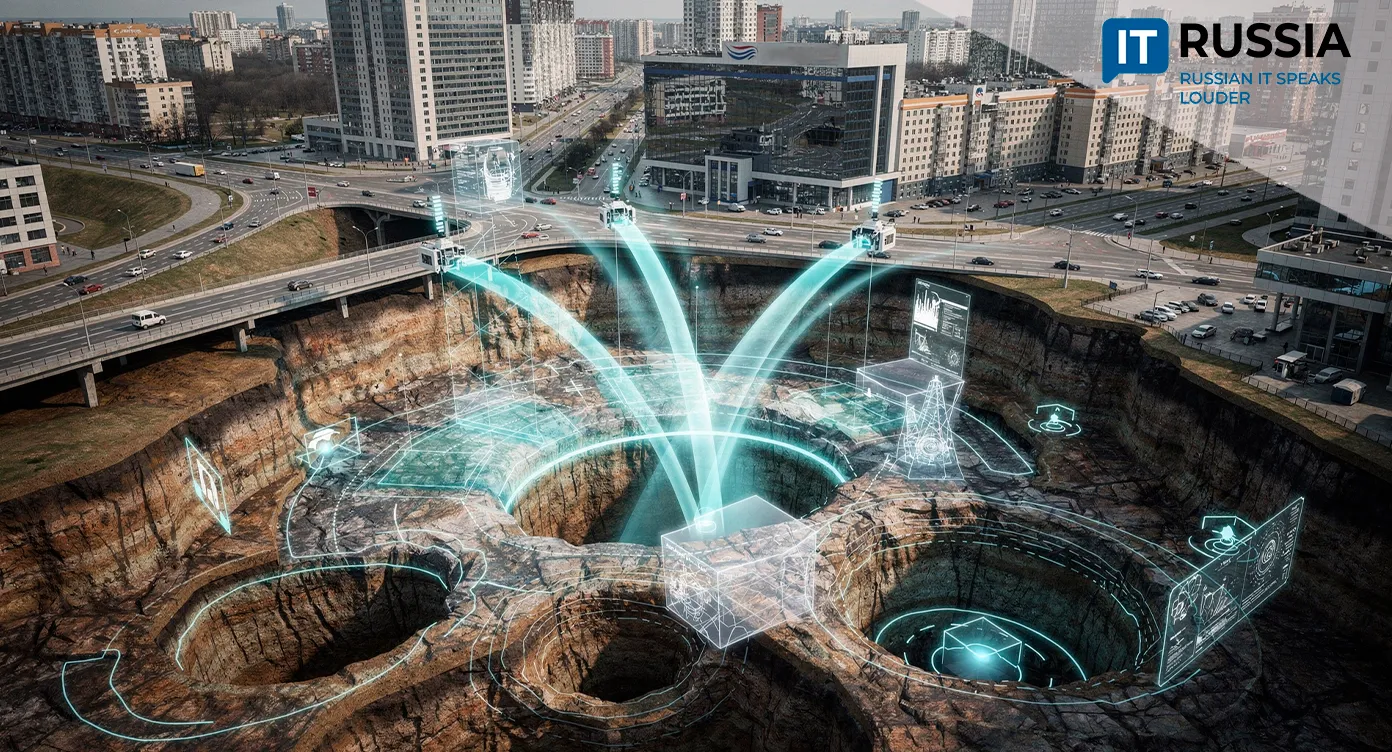
Moving from a pretty picture to a “living model” is the project’s main goal. The platform is expected to bring climate indicators and information about utility networks, transportation, energy, demographics and social services into a single digital environment. It will use GIS technologies, BIM and 3D modeling, big data analytics and machine learning. The replica is being built under the Razvitie infrastruktury v naselennykh punktakh (Infrastructure Development in Settlements) regional program, which is part of the Infrastruktura dlya zhizni (Infrastructure for Life) national project. Since 2019, quality of life in Yakutia’s key settlements has already improved by 31.8 percent.
A First – and a Necessary One
Moscow’s digital twin is now in its seventh year. The platform contains more than 9,000 analytical layers, covering everything from environmental conditions to the state of utility infrastructure. The virtual replica is used to plan how the city functions and develops. Moscow’s 3D model supports more than 2,000 management decisions each year. In Tatarstan, work on a digital twin has been underway for about two years, with full completion planned within the next two years. The republic-wide model is being built on the successful digital replica of Kazan, which is now more than 95 percent complete.
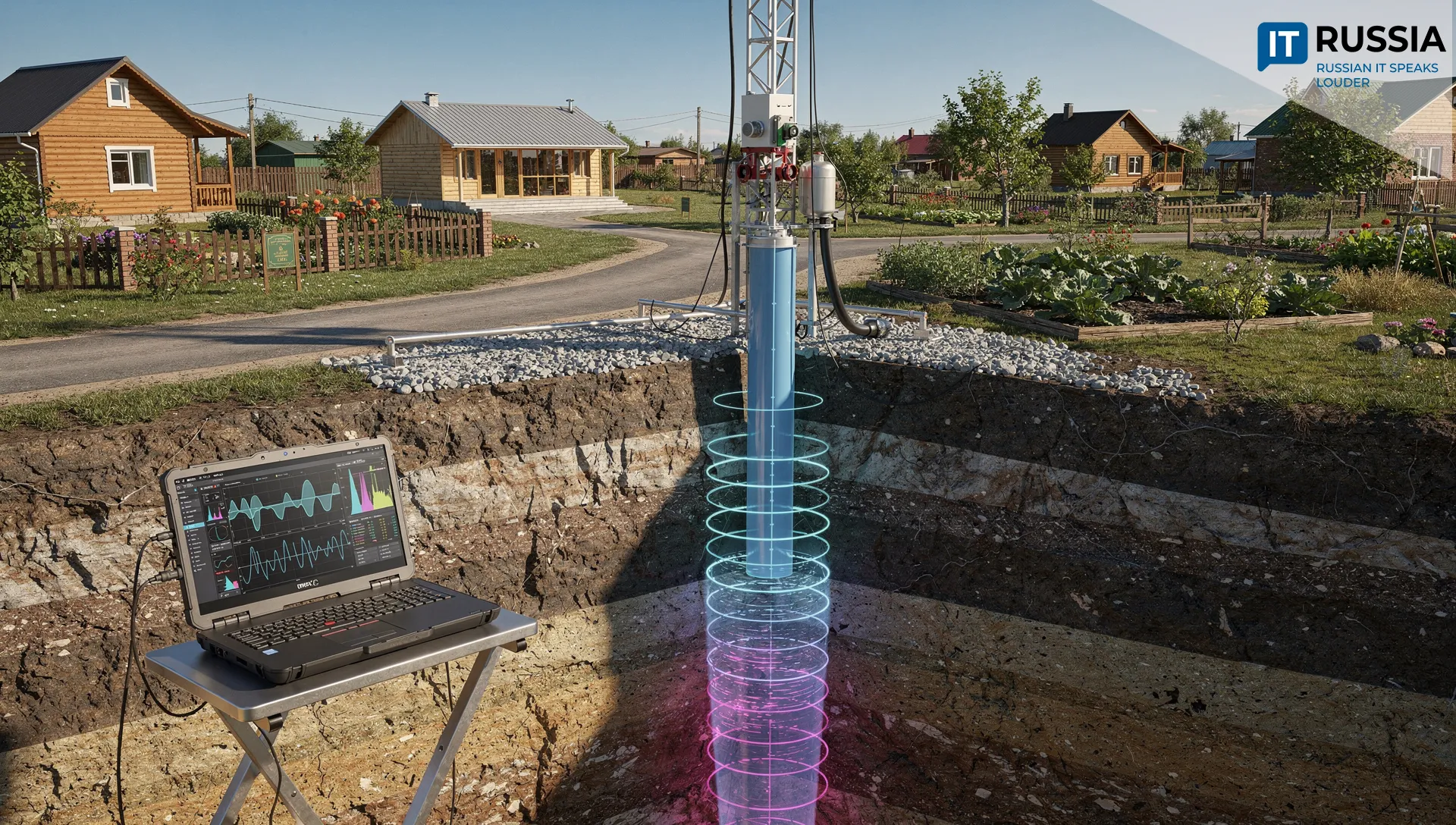
The Arctic needs digital twins, too. Managing infrastructure there – building homes and roads, for example – is more difficult because planners have to account for permafrost and ground degradation. Given the harsh climate, the model could also help plan the “northern delivery,” the complex supply operation that brings essential goods to remote northern communities. A digital twin of that system is already being developed as part of another large-scale project, the Severnyi zavoz (Northern Delivery) federal state information system. And the volume of supplies is growing: 3.4 million metric tons of essential cargo were delivered last year, while 3.9 million metric tons are planned for this year. Development is also accelerating at oil and gas fields. By 2035, the Arctic’s share of Russia’s oil production is planned to rise from 17 percent to 25 percent, while its share of gas production is expected to increase from 83 percent to 92 percent. Digital twins could help accelerate the development of the polar region.
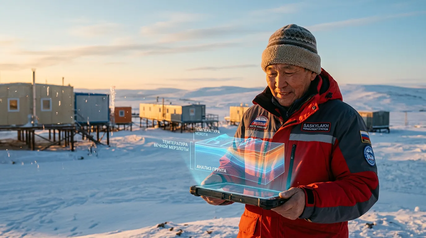
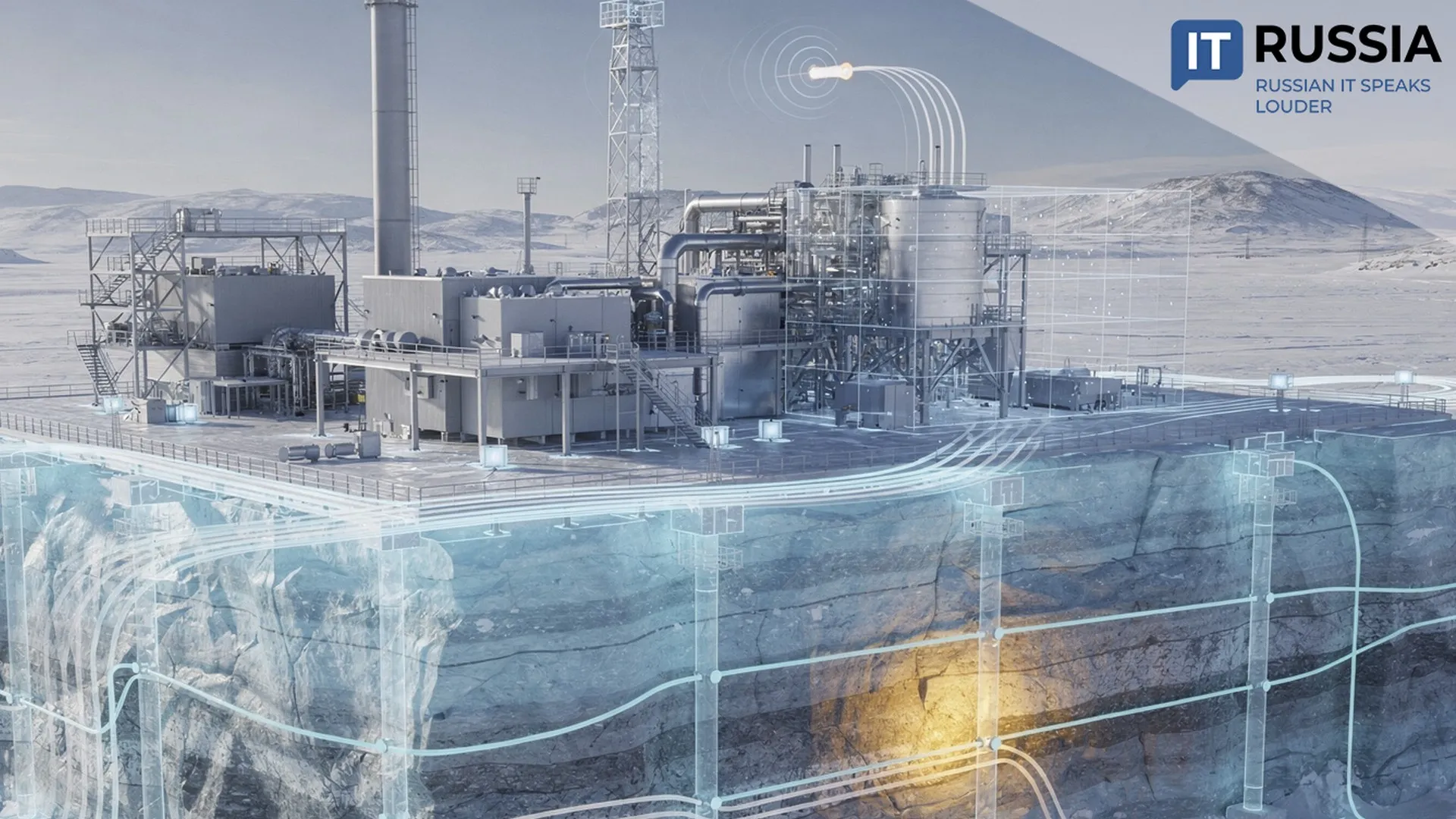
And Saskylakh, the Arctic “pioneer,” is now taking the first step down that road. Its model will account for the specific conditions of the Far North. It will incorporate everything from 3D models of buildings and utility networks to temperature readings, water analysis and permafrost parameters. Construction, utility-network expansion and transportation-development scenarios will first be tested in virtual settlements before work begins on physical infrastructure.
As Vladimir Chernogradsky, Yakutia’s minister for Arctic development and the affairs of the peoples of the North, put it, the Anabar District “has always been a pioneer in implementing projects, including those with practical significance for the Arctic as a whole.”
Small Village, Big Goal
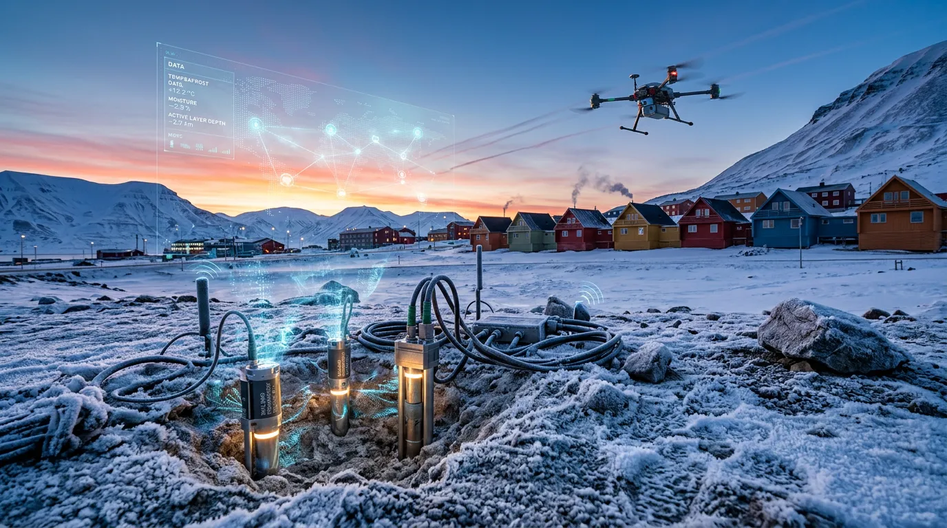
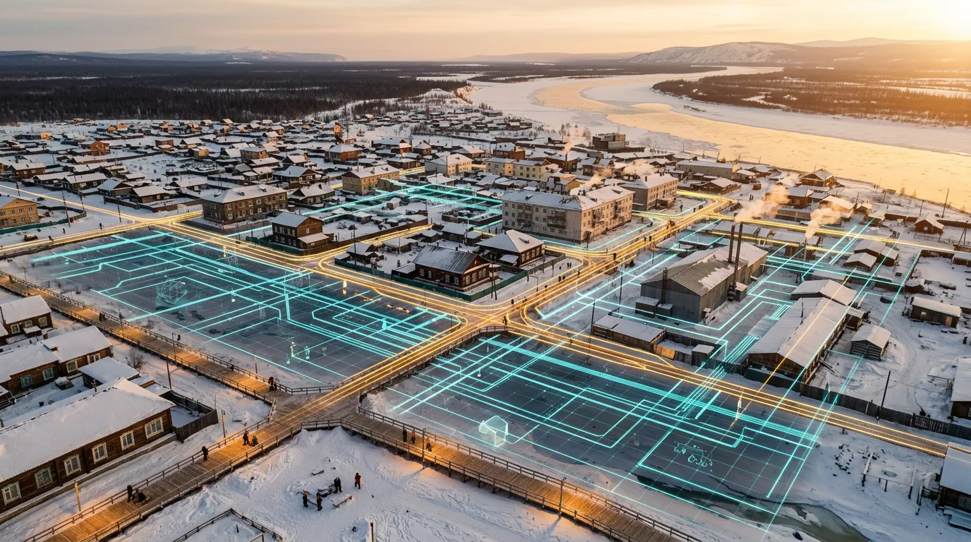
The key now is to move from a “shadow” to a “twin.” Once the 3D models are connected to regularly updated data on permafrost, temperature and utility networks, the system can be used for scenario modeling and to develop master plans for Arctic settlements.
The project is already expanding geographically. Yakutia’s Bureau of Technical Inventory has begun aerial surveys of eight communities, including Saskylakh, to create high-precision orthophoto maps. The list also includes Nyurba, Neryungri, Peledui and other settlements.
Russia has announced plans to create a virtual replica of the entire country by 2030. Russian companies are developing their own software products that could provide the foundation for it. Rostelecom, for example, has unveiled a digital-twin module designed to bring together all information about municipal property.
The methodology now being developed for Yakutia could also be of interest to other countries with Arctic and subarctic regions. Russian solutions in this field have already demonstrated international appeal: Moscow’s digital twin received a BRICS Solutions Award.