Digital Technologies Set to Improve Logistics in Russia's Far East
Researchers at the Dalnevostochny Nauchno-Issledovatelsky, Proektno-Izyskatelsky i Konstruktorsko-Tekhnologichesky Institut Morskogo Flota (Far Eastern Research, Survey, Design and Marine Engineering Institute; DNIIMF), working with the Russian Maritime Register of Shipping, completed a hydrographic survey of the approach channel leading to the oil depot near the village of Krasnoye outside Nikolayevsk-on-Amur.

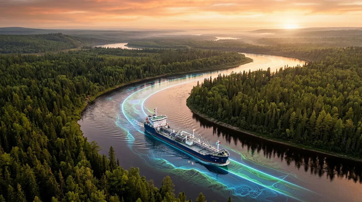
Shipping in Russia's Far East provides a vital connection between coastal communities, industrial facilities and the rest of the country. Digital monitoring of the Amur River is expected to make waterborne transportation more reliable.
Embracing Digitalization
The Amur is an unpredictable river. Its channel is constantly shifting: sandbars move, shoals change shape, and depths in previously surveyed areas can change dramatically after just one flood season. As a result, vessel operations, especially those involving large fuel tankers, carry significant risks. A grounding could delay fuel deliveries and disrupt essential supplies to remote communities.
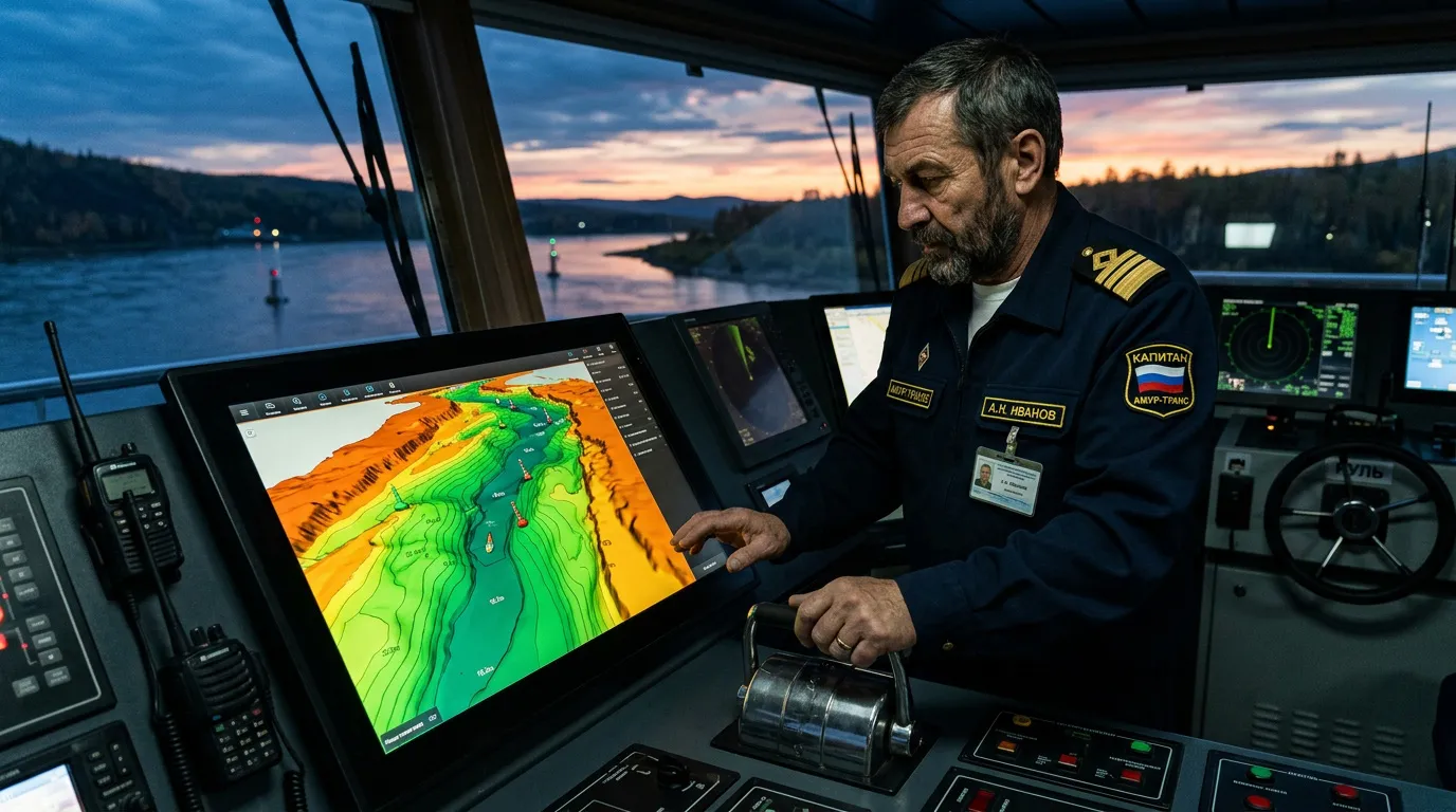
DNIIMF set out to minimize those risks by creating a digital terrain model of the riverbed. Engineers conducted a detailed bathymetric survey using a multibeam echo sounder. The entire workflow – from collecting spatial data and processing it with specialized software to generating visual models – provides ship operators with mathematically validated calculations of the maximum safe tanker load, taking into account the vessel's actual draft and a precisely defined under-keel clearance. The model's accuracy was confirmed during the first successful vessel transit on June 16.
From the Volga to the Yenisei
Hydrography is steadily evolving into digital infrastructure. For example, multibeam surveys have already been carried out at the Port of Ust-Luga, while the Ob-Irtysh Basin Administration routinely updates hundreds of electronic chart cells. Today, electronic navigation charts cover more than 86% of Russia's inland water routes. Meanwhile, Transas has updated charts for the Unified Deep Water System, and Rosmorrechflot (Federal Agency for Maritime and River Transport) plans to introduce digital navigation charts on Lake Baikal.
DNIIMF is adapting globally established multibeam sonar and 3D modeling techniques to the unique conditions of the Russian Far East. The result should be fewer accidents during fuel deliveries, greater reliability for northern supply operations, and more efficient use of fleet cargo capacity. Each tanker will be able to carry exactly as much cargo as the actual river depth allows – without excessive safety margins that reduce efficiency and without overloading that could compromise navigation safety.
No matter how accurate it is, a digital model of the riverbed becomes outdated quickly. That makes regular, potentially seasonal, monitoring the next logical step. Surveys like these need to become a continuous, forward-looking system, particularly because similar capabilities are increasingly needed across the country's other inland waterways.
Raising the Standard
The first digital passports for approach channels and berths are now being created. In the near future, those models are expected to be integrated with the government's electronic navigation charts, which already cover more than 69,000 kilometers of Russia's inland waterways. The next step will be synchronizing riverbed terrain data with real-time water levels and the characteristics of individual vessels. That will make it possible to calculate safe routes automatically and in real time.
DNIIMF's work near the village of Krasnoye marks a shift toward mathematics-driven management of river transportation. The project carries particular importance for the Russian Far East, where fuel security directly affects quality of life. In the end, effective management of the region's logistics depends on what lies beneath the surface of its most important transportation corridors.
"One of the most promising ways to improve the maintenance of inland waterways and enhance navigation safety is the introduction of a unified technology for riverbed surveys and waterway maintenance, together with the creation and distribution of government electronic navigation charts operating within a single information environment," said Konstantin Anisimov, Deputy Head of Rosmorrechflot.