Russia Develops Rescue Drone That Can Navigate Without GPS
Engineers at the Moscow Aviation Institute are building a navigation system that allows search-and-rescue drones to fly and locate people when GPS signals are unavailable.
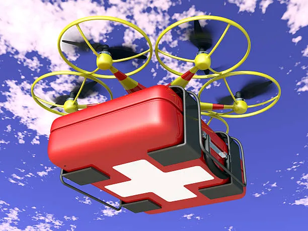
At the Moscow Aviation Institute, researchers are developing a navigation system for search-and-rescue drones that can operate and locate people even when GPS signals are absent or unreliable.
The technology combines computer vision, inertial sensors (a gyroscope and accelerometer), and machine-learning algorithms. Instead of relying on satellites, the drone determines its position using its own motion data and images captured by an onboard camera.
This approach prevents the drone from getting lost indoors, in dense urban environments, tunnels, or disaster zones where satellite navigation signals are unavailable or unstable.
Reality Through Sensing
Pyotr Ukhov, an associate professor of computational mathematics and programming and deputy head of the MAI IT Center, explained how the system works.
Mapping Itself
At the core of the technology is the SLAM method, which enables simultaneous mapping of the surrounding environment and self-positioning within it. Put simply, the drone builds a map of its surroundings as it flies and continuously refines its own location. The method has long been used in robotics and autonomous vehicles and is now being adapted for unmanned aviation.
Neural Network for Search
A key feature of the MAI project is the integration of a neural network. Its task is to analyze the video feed and detect people in real time. As a result, the system can serve both navigation and search-and-rescue operations. According to the developers, similar technologies are used abroad in drones designed to inspect damaged buildings and industrial sites.
Proprietary Controller
Unlike many existing solutions, the navigation system is fully integrated into the drone’s own flight controller rather than being housed in an external module. This reduces power consumption because the system no longer requires a separate power supply.
The system is currently undergoing field tests. A team of students and engineers is refining the algorithms so the drone can automatically keep a detected person in view and determine whether a repeat flyover is needed. The developers plan to complete the project in the second quarter of 2026.