

Not Just a Map: New Service Predicts Changes in a Neighborhood’s Transportation Accessibility
Now urban planners could have a more precise planning tool: researchers at Perm National Research Polytechnic University (PNRPU) have developed a neural-network model that not only measures a neighborhood’s current transportation accessibility, but also predicts how it will change when the layout is modified. Most importantly, it explains which parameters have the greatest influence on the outcome.
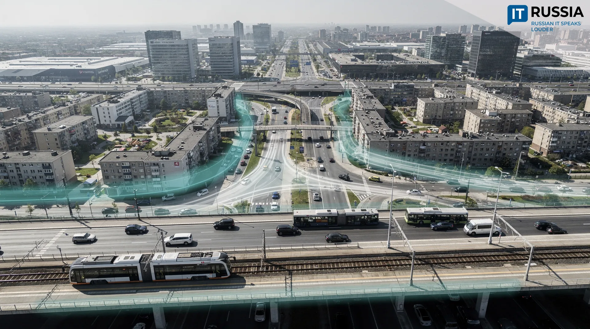
The technology developed by researchers at Perm National Research Polytechnic University (PNRPU) goes beyond answering how accessible a particular neighborhood is. It helps identify what is preventing good accessibility and how those conditions can be improved.
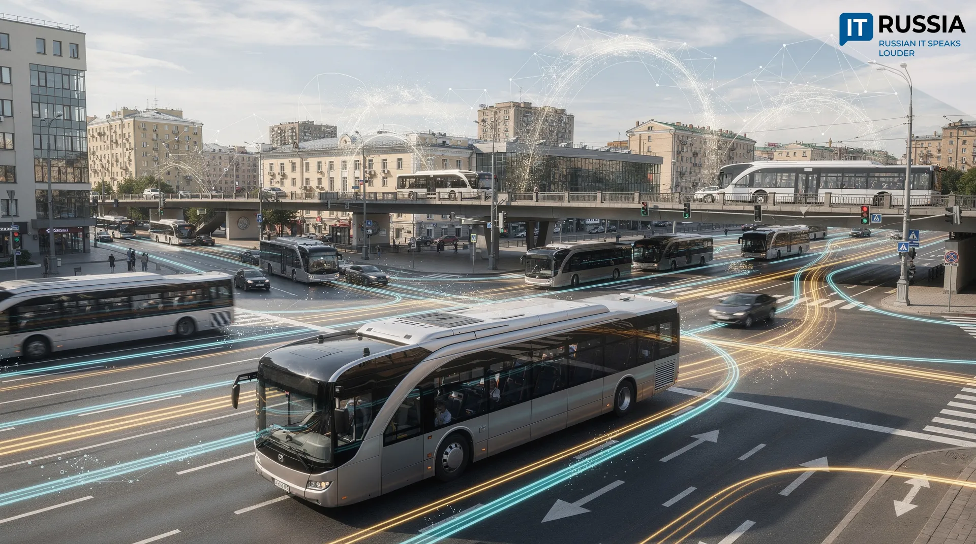
The system uses street density, the number of intersections and dead ends, the winding nature of roads, distance from the city center, the location of jobs, and travel times on different types of streets as input parameters. It produces a transportation-accessibility index based in part on the number of jobs that can be reached within 45 minutes. After being trained on data from a real Russian city, the model demonstrated a reported prediction accuracy of 95%. The service’s key feature is its analytical capability: rather than simply producing an overall score, the neural network shows which factor has the strongest negative or positive effect on accessibility. For one neighborhood, for example, the problem may be too few intersections, while for another it may be an overly winding road network. In effect, this is already a decision-support system: instead of an abstract score, a planner gets specific guidance on what to focus on when designing an area.

From Research to Practice
The most logical next step is to integrate the model with urban GIS platforms, transportation models and digital twins of urban areas. In this scenario, a planner changes the configuration of a neighborhood or road network, and the system automatically recalculates how the changes would affect access to jobs and other key destinations.
Russia’s market for such technologies is taking shape rapidly. Intelligent transportation systems are being developed in dozens of metropolitan areas, and by 2030, the target level of maturity for such systems is to be achieved in 66 cities. Integrated platforms are already in use. For example, since 2022 the Perm metropolitan area has operated the Unified Transportation System Management Platform, which includes a Digital Twin module.
The technology could be particularly useful when designing new residential districts and comprehensive territorial development projects, preparing master plans and transportation-planning documents, and identifying bottlenecks in existing street networks.

Digital Modeling of Transportation Accessibility
In recent years, Russia has been steadily developing a trend toward digitally modeling the effects of transportation-network development before construction begins. In 2023, the MosTransProekt Research Institute launched Uznay pro ZhK (Learn About Your Residential Complex) in Moscow, a service that allows users to compare new housing developments by transportation accessibility, taking into account different modes of transportation and dozens of parameters. That same year, St. Petersburg deployed the RITM³ transportation modeling platform, which combines GIS, a Digital Twin and a forecasting module. The approach reflects a shift toward testing transportation scenarios before decisions are made.
Meanwhile, the research base is also expanding. In 2026, the Vestnik MADI journal published a study on building datasets for neural networks that forecast traffic flows at intersections, including intersections in Perm.
Globally, Singapore’s digital twin is a prominent example. Its virtual model of the city is used to test infrastructure solutions. The PNRPU technology fits naturally into this broader trend, but stands out for focusing specifically on the urban-planning factors that shape transportation accessibility.
The main advantage of the PNRPU model is that it can answer not only the question “How accessible is this neighborhood now?” but also the more practical one: “What exactly needs to change to make it more accessible?” If its prediction accuracy can be confirmed in cities with different development patterns and the model can be integrated with GIS platforms and digital twins, it could become a valuable tool for municipalities, planners and developers. For now, however, it remains a promising research-and-application project: there is no information on industrial deployment, customers or testing by government authorities. The most accurate assessment, therefore, is to view it as an important step toward digital urban planning that still needs to be validated through real-world use and scaled up.