IT 'Nestlings': How Russia’s Mining Sector Is Taking Flight with Drone Monitoring

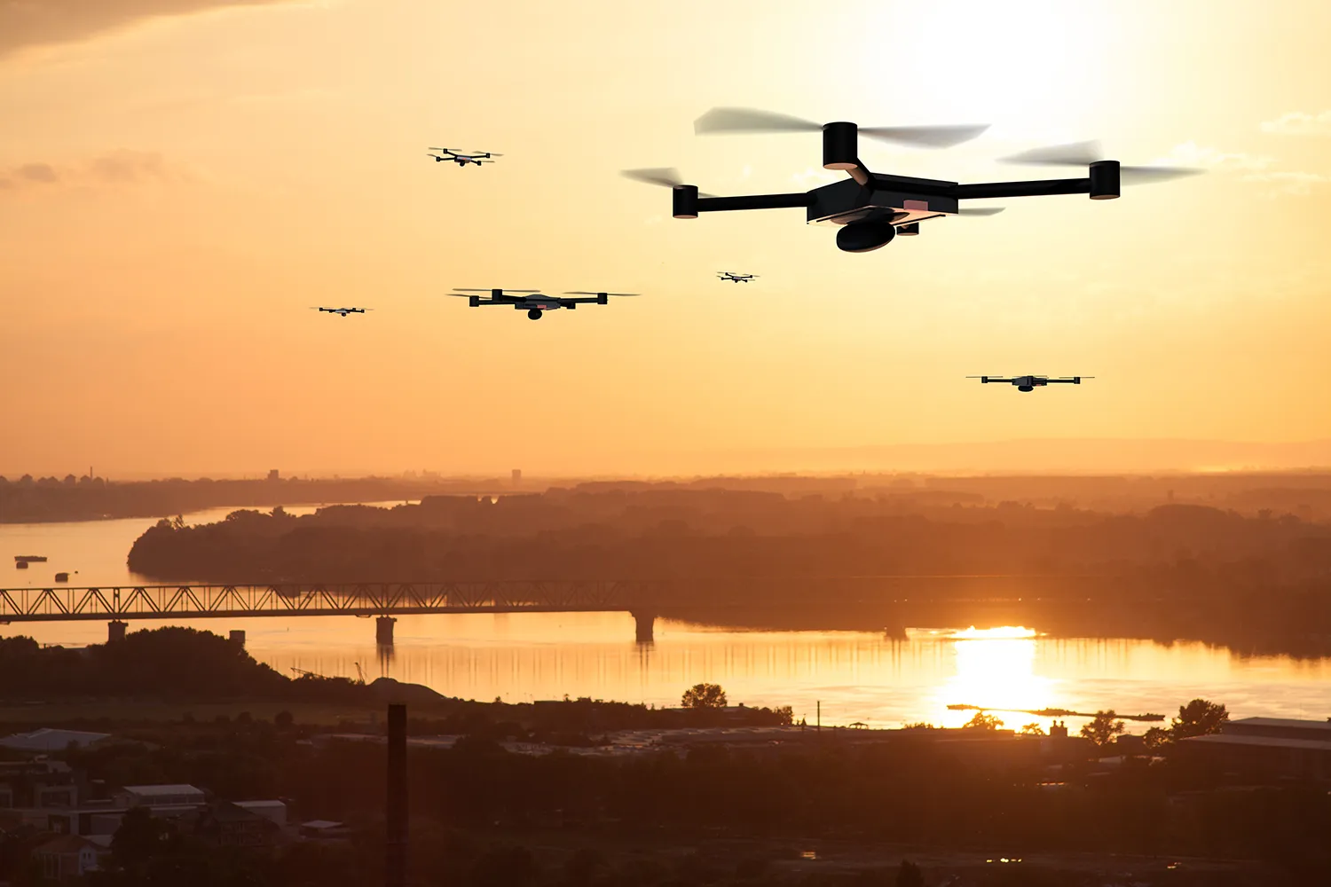
Lines of code and server racks are reshaping Russia’s extractive industries. With vast pipelines stretching thousands of kilometers and facilities scattered across remote regions, the sector is adopting innovative aerial monitoring methods.
Everyone Flies!
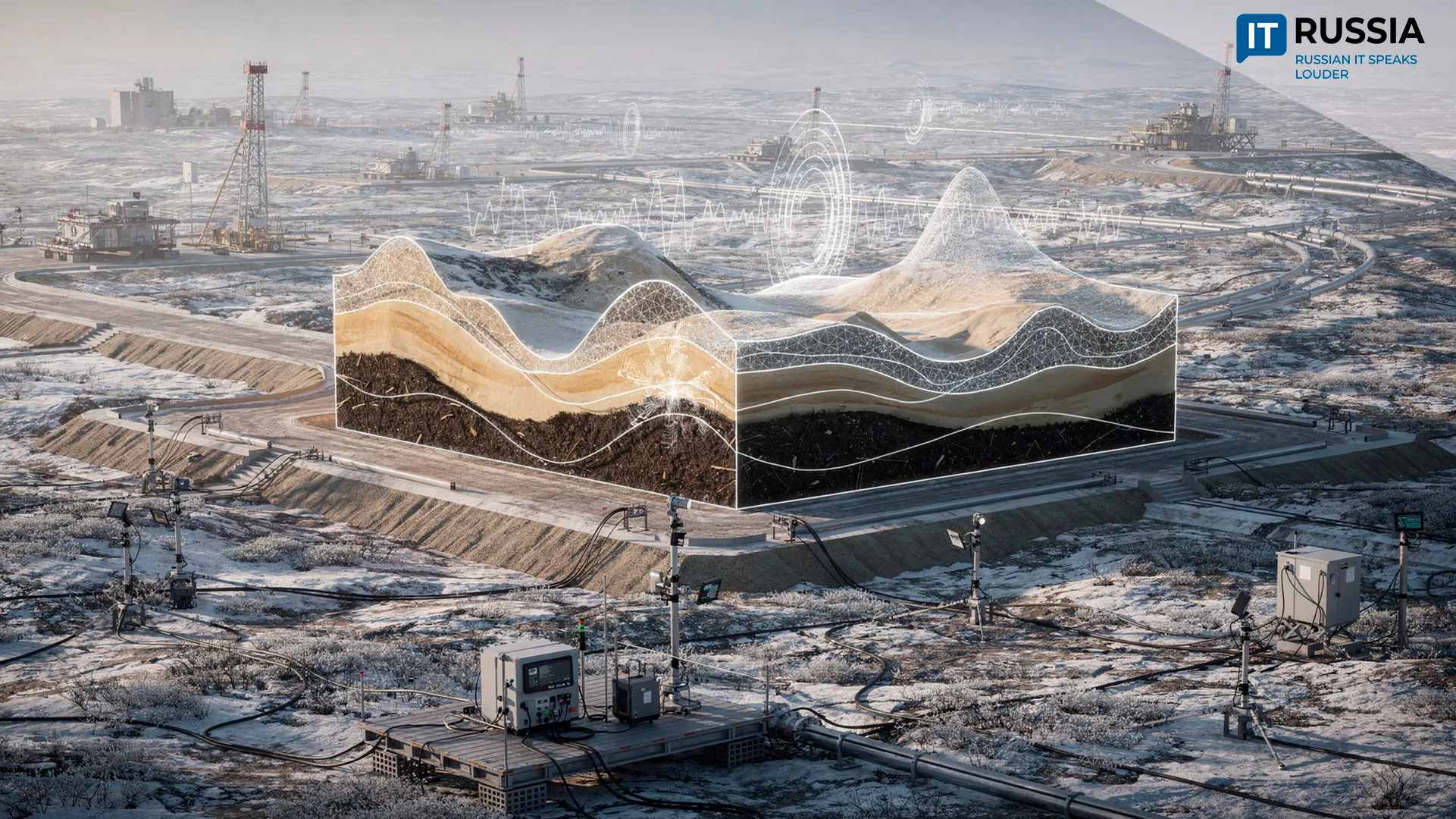
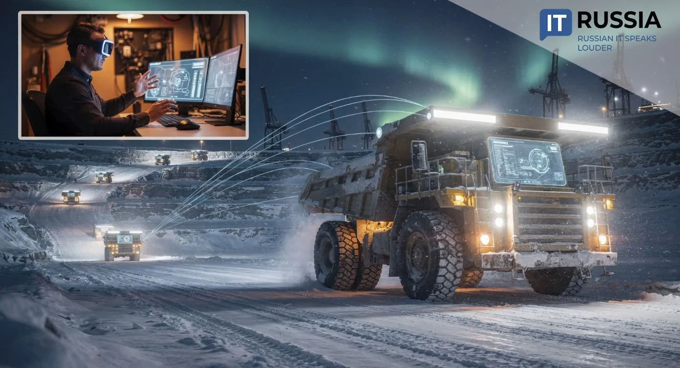
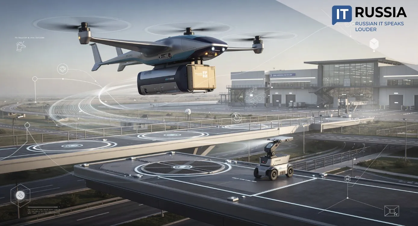
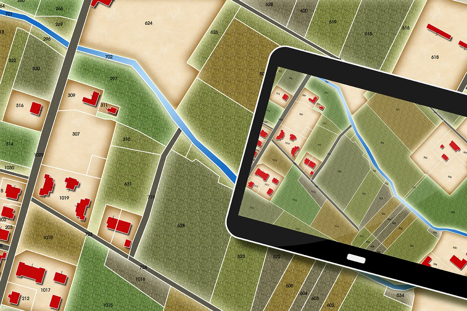
The Unmanned Systems Group has launched a test phase (currently in the oil and gas sector) of a service that is quietly rewriting the rules of infrastructure monitoring. Its fleet of drones systematically inspects pipelines, power lines, and industrial sites. The service aggregates everything—routes, photos, videos—building detailed orthophotos, seamless digital maps stitched together from aerial images.
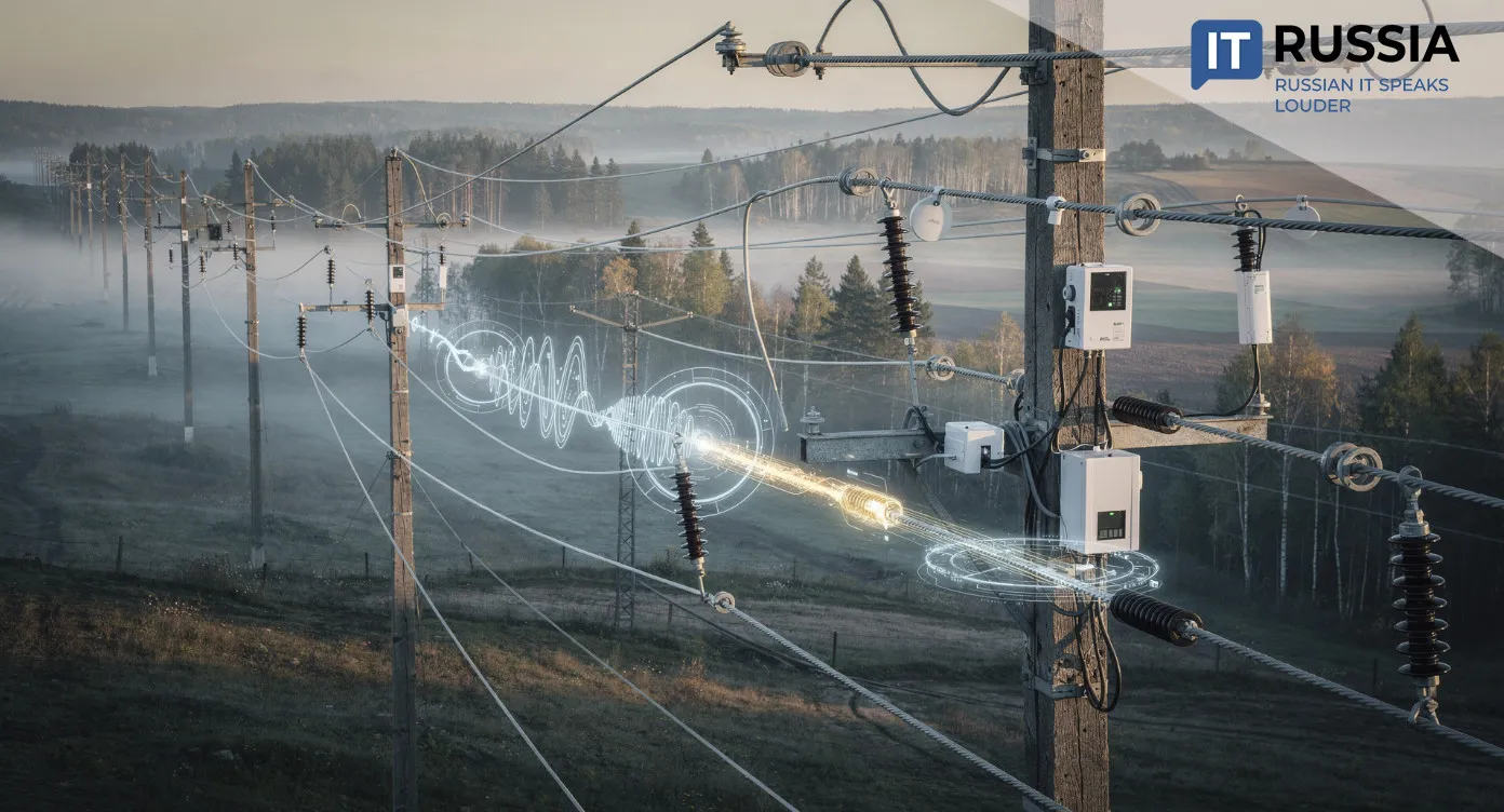
Most importantly, it automatically detects anomalies: insulation damage, soil subsidence near pipelines, unauthorized construction, or corrosion spots. Each issue is tagged with precise geolocation data. Clients subscribing to aerial monitoring receive a personal dashboard—one window into all the information. Instead of combing through terabytes of raw data, they get pre-analyzed, actionable insights.
See – Record – Analyze
Reducing accident risks saves companies enormous amounts of money, following the well-known formula: money saved equals money earned. The new equation—drones plus analytics—becomes a natural continuation of the trend toward preventing costly accidents.

This Russian-made solution is tailored to local realities—sheer scale, harsh climates, and regulatory frameworks. It displaces not only foreign hardware but also Western geodata processing software.
Who Benefits?
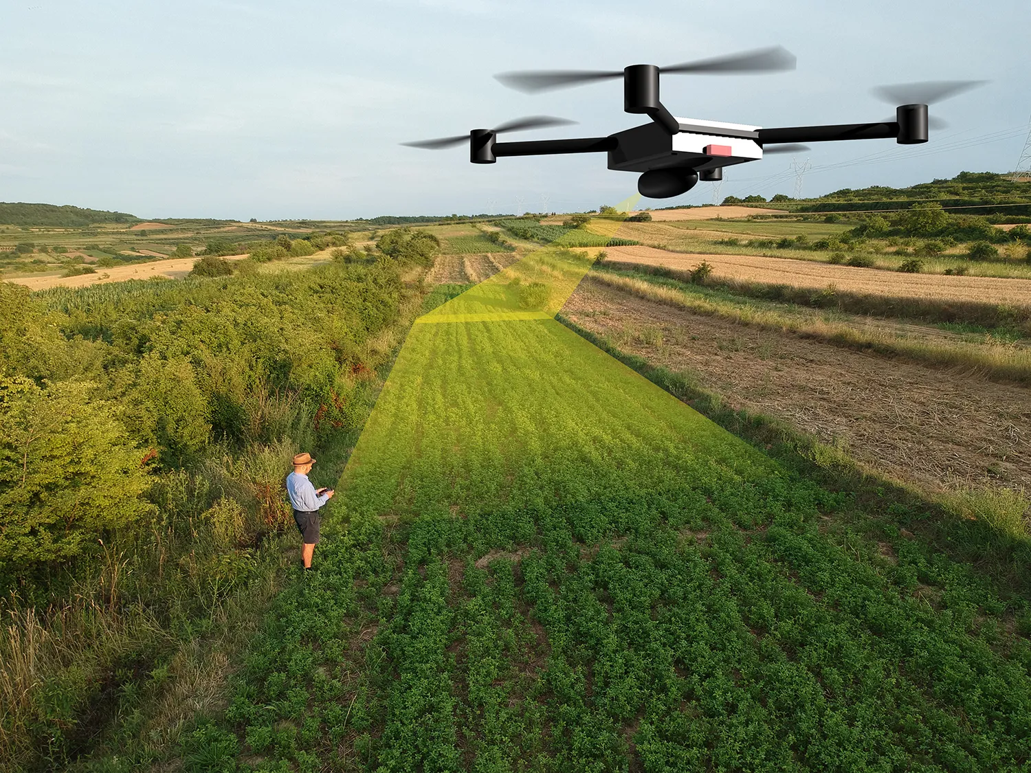
In the oil and gas sector, the project has been piloted by leading companies. But other industries are lining up: power utilities (monitoring transmission lines and substations), construction (overseeing projects and earthworks), and forestry (fire prevention and inventory).
On a global level, Russia’s move into the 'smart monitoring' trend gives it unique export potential. Experience in monitoring vast and complex territories is in high demand in countries with developing infrastructure—across Asia, Africa, and Latin America. Adapting the service to their needs is simply a matter of time and business strategy.
A Promising Roadmap
Today, the Unmanned Systems service is undergoing its trial by fire with oil companies. But its roadmap is already ambitious. Integration with AI for predictive monitoring and synergy with IoT sensor data suggest deep analytical capabilities.
The project’s expansion beyond oil and gas—into energy, construction, agriculture, and forestry—points to the strengthening of the digital backbone across entire industries. Transforming the client dashboard into a full-scale risk management platform marks a serious bid to evolve from a service into a digital infrastructure ecosystem.
The development blends 'smart' hardware with robust domestic software. Infrastructure is not just functioning but beginning to 'understand' itself—its strengths and vulnerabilities—through these digital guardians.
As drones map terrain and algorithms search for anomalies, the sector gains a tool for proactive decision-making. The transition from test mode to full deployment is only a matter of time. Mass adoption of aerial monitoring is on the horizon.