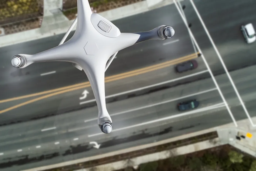
Russia Develops Satellite-Based Control System for Aviation Drones
A new Russian technology enables the long‑distance control of aviation‑type drones via geostationary satellites, unlocking capabilities far beyond traditional radio‑line‑of‑sight limitations.
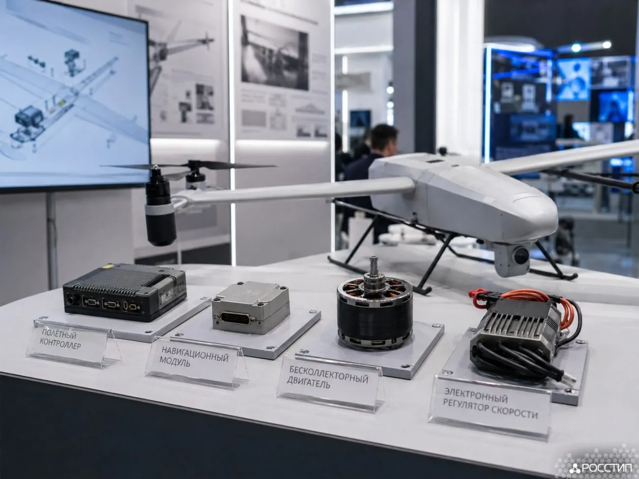
Russia has tested its first satellite‑enabled control system for aviation‑type drones, developed at the Moscow Aviation Institute (MAI). The system enables reliable command and data transmission through geostationary satellites, significantly expanding the operational range of unmanned aircraft.
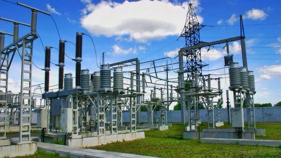
A compact onboard device equipped with an auto‑tracking antenna maintains a stable link with satellites positioned 36,000 kilometers above Earth. Originally designed for communications in areas with limited mobile coverage, the module now ensures continuous drone control over vast territories thanks to the stability and wide footprint of geostationary orbit.
Signal latency remains the primary challenge for real‑time operations when routing commands through long‑distance satellite links. Engineers addressed this by implementing directorial control algorithms. An operator transmits coordinates or waypoints, and the drone independently executes commands using its navigation and onboard systems.
According to Nikita Matasov, MAI project manager, the test program included three phases: bench testing of the terminal, full integration with the drone, and final flight trials at an airfield to validate mechanical, electrical, and software compatibility.
Experts say the new technology could enable long‑range UAV cargo routes, large‑scale remote sensing missions, and drone deliveries to remote regions. Russia may launch prototype long‑distance UAV routes by 2027.