Young Engineers to “Digitize” Russia’s Natural Resources
At a national skills competition, participants will use drones and GIS tech to design systems for monitoring the country’s vast natural landscape.
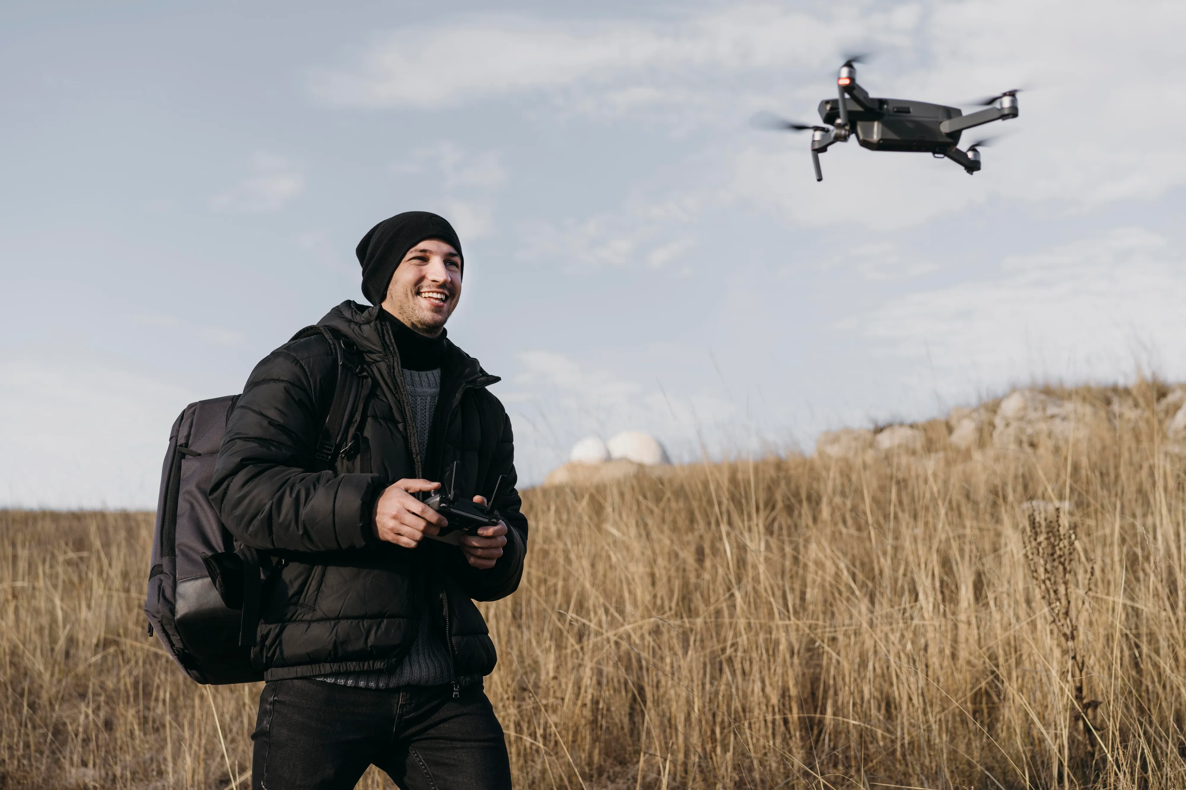
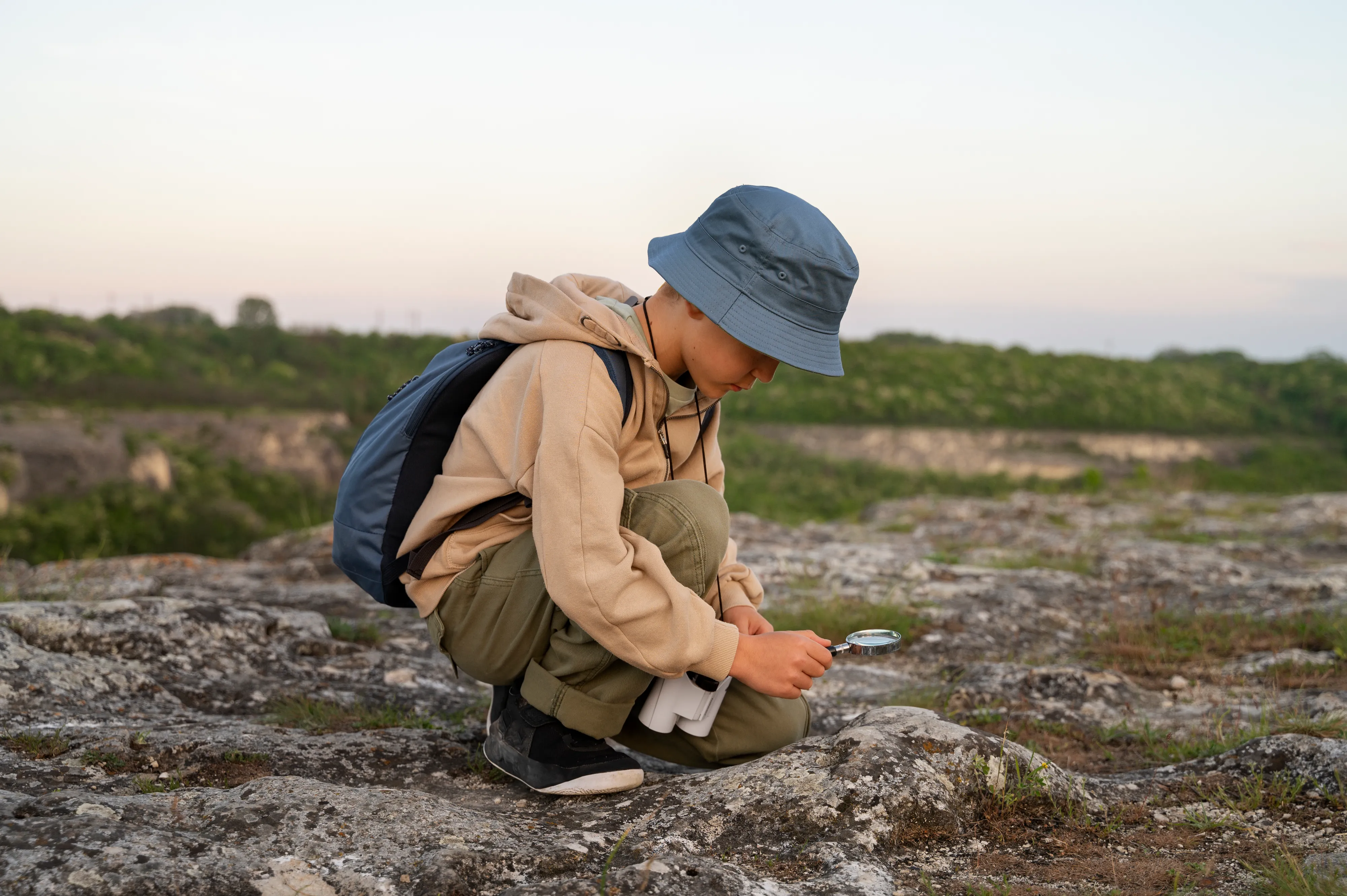
Finalists of Russia’s largest professional skills championship, “Professionals,” are taking on a high-tech challenge this year — developing geospatial digital engineering solutions to collect and analyze data on natural resources.
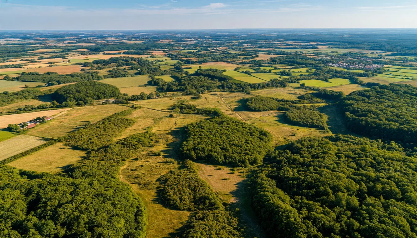
Competitors from across the country will design complex monitoring systems using fixed-wing and multirotor drones, photogrammetry software, and geographic information systems (GIS) to produce precise digital maps and 3D terrain models.
From environmental tracking to safety and rescue
The skills on display go far beyond mapping. Drone and data proficiency are critical not only for environmental assessment but also for agriculture, safety monitoring, and even search-and-rescue operations.
Russia’s expanding network of tech-focused competitions — from mathematical modeling to software engineering — is designed to identify and support emerging talent, while producing real-world innovations for industry.
As Semenov put it, “These young engineers are shaping the digital tools that will define how we understand and manage the natural world.”